


A one-mile protected bike lane has been shown to decrease driver speeds and attract more cyclists to the route.
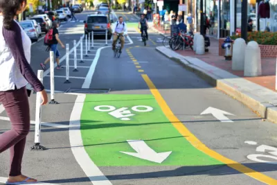
Data from a North Kansas City pilot project shows that adding a protected bike lane can play a significant role in reducing vehicle speeds and encouraging more biking. In addition to a one-mile protected bike lane on Armour Road in the summer of 2021, the city also added more visible crosswalks, landscaping, and pedestrian islands, writes Charles Pekow in Smart Cities Dive.
A study by Streetlight found that the number of cars going faster than 40 miles per hour on the mile-long stretch with a protected bike lane was reduced to almost zero. “Meanwhile, bike traffic more than doubled, from a daily average of 50 to 114. The report notes that bike traffic didn’t decrease on a parallel road that was used as a control for the project during that time, indicating that more people were riding, not transferring from nearby streets.”
The study did note that congestion worsened along the bike lane in the early part of the project, but started to dip in 2021.
FULL STORY: Protected bike lanes in North Kansas City slowed traffic, increased biking: study

Cleveland to Boost Bike Safety With New Bike Lanes, School Programs
The program, using curriculum created by Cleveland Bikes, is part of a broader effort to improve safety along school routes.
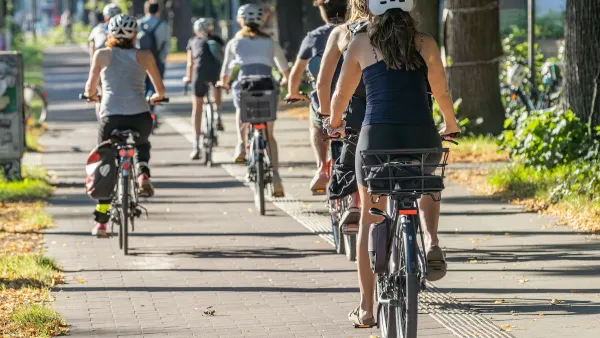
With Protected Lanes, 460% More People Commute by Bike
For those needing more ammo, more data proving what we already knew is here.
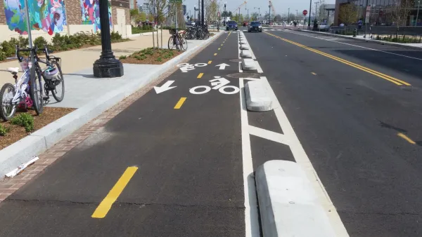
DC Backpedals on Bike Lane Protection, Swaps Barriers for Paint
Citing aesthetic concerns, the city is removing the concrete barriers and flexposts that once separated Arizona Avenue cyclists from motor vehicles.

Maui's Vacation Rental Debate Turns Ugly
Verbal attacks, misinformation campaigns and fistfights plague a high-stakes debate to convert thousands of vacation rentals into long-term housing.

Planetizen Federal Action Tracker
A weekly monitor of how Trump’s orders and actions are impacting planners and planning in America.

In Urban Planning, AI Prompting Could be the New Design Thinking
Creativity has long been key to great urban design. What if we see AI as our new creative partner?

King County Supportive Housing Program Offers Hope for Unhoused Residents
The county is taking a ‘Housing First’ approach that prioritizes getting people into housing, then offering wraparound supportive services.

Researchers Use AI to Get Clearer Picture of US Housing
Analysts are using artificial intelligence to supercharge their research by allowing them to comb through data faster. Though these AI tools can be error prone, they save time and housing researchers are optimistic about the future.

Making Shared Micromobility More Inclusive
Cities and shared mobility system operators can do more to include people with disabilities in planning and operations, per a new report.
Urban Design for Planners 1: Software Tools
This six-course series explores essential urban design concepts using open source software and equips planners with the tools they need to participate fully in the urban design process.
Planning for Universal Design
Learn the tools for implementing Universal Design in planning regulations.
planning NEXT
Appalachian Highlands Housing Partners
Mpact (founded as Rail~Volution)
City of Camden Redevelopment Agency
City of Astoria
City of Portland
City of Laramie