Impatient with the city's light rail expansion plans, some residents are looking to aerial gondolas as a new mode of public transit.


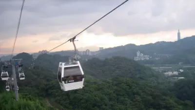
A proposed aerial gondola could shuttle Seattle residents from downtown to West Seattle by 2024. The plan for the West Seattle SkyLink, proposed by a group of neighborhood activists, is gaining some traction as a possible alternative to existing light rail plans, which are currently projected to cost $600 million per mile and reach completion in 2031. Advocates hope to convince Sound Transit that the aerial gondola is a more cost-efficient option. The agency has reappropriated funds in the past: when safety concerns about tunneling for the Link light rail line stopped construction in 2005, the agency funded the First Hill line of the Seattle Streetcaras a replacement.
Used in some cities with challenging terrain, urban aerial gondolas can solve space issues in dense, hilly areas. In Colombia, Medellin's Metrocable system carries commuters over 9 miles of cable across the city's steep terrain. The SkyLink's proponents hope that they can convince Americans to support the technology, which, they say, could be less obtrusive and cause less displacement than other forms of transit and get built faster and more cheaply than light rail.
Opponents argue that the gondola's low passenger capacity, slower speed, and risk of inflated costs make it a much less efficient option. Citing the Medellin gondola's relatively low daily ridership, rail supporters claim that a comprehensive light rail network, planned with long-term expansion in mind, can serve more users more effectively safely than aerial gondolas.

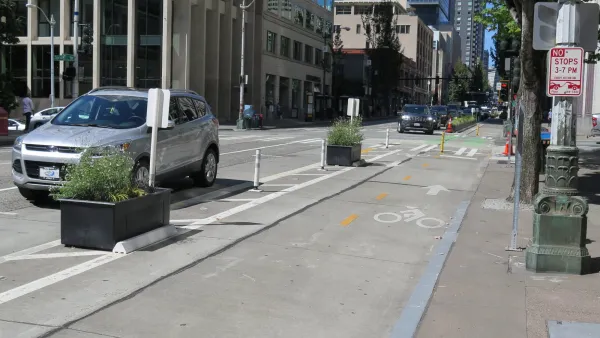
Bike and Pedestrian Improvements Proposed for Seattle Light Rail Stations
Anticipating the opening of two new stations in 2024, the Seattle Department of Transportation released a study prioritizing bike infrastructure in the surrounding areas.
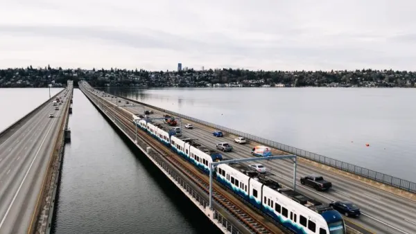
Seattle’s Floating Light Rail Bridge to Open March 28
The new East Link segment of King County’s light rail system crosses Lake Washington on a first-of-its-kind floating bridge.
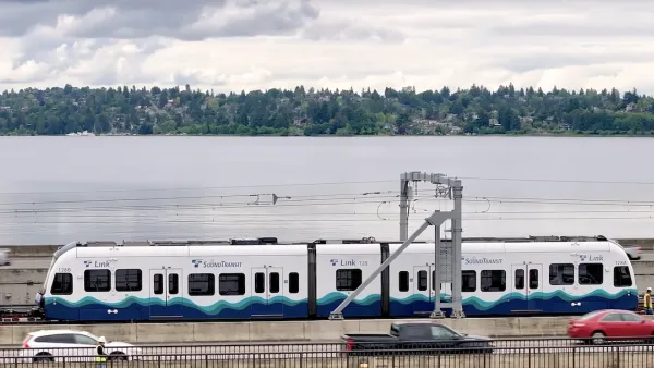
Floating Light Rail Bridge Crossing Marks Historic Moment for Seattle Transit
Once testing is complete, Sound Transit will open the world’s first light rail line that uses a floating bridge connecting downtown Seattle to the Eastside.

Planetizen Federal Action Tracker
A weekly monitor of how Trump’s orders and actions are impacting planners and planning in America.

California plans to bury El Niño’s downpour
If the state plays its cards right, it may be able to store a billion acre-feet of El Niño’s water in aquifers.

Chicago breaks ground on $3 billion megadevelopment
The new neighborhood, titled Foundry Park, will one day host 3,700 residences.

Satanic Place Names
From streams and lakes to valleys and canyons, I mapped more than 1,000 places named after the Devil.

California High-Speed Rail Authority CEO resigns after $600,000 scandal
Under Ian Choudri, the authority used taxpayer dollars to fund first class flights and trips to nightclubs.

Want to study the Missouri River? Soon, you may need unanimous approval from 10 states
Legislation would require 10 governors’ permission to study or build projects moving water outside the basin.

FREE Course: Walkable City 1: Why Walkability?
After describing his path towards focusing on walkability as the essence of good planning, Jeff Speck marches through his five principal reasons for making more walkable places.
Reinventing Malls: Planning Alchemy—Turning Gray Fields Into Gold
The course focuses on the opportunities and imperatives that shape reinvention of mall sites.

City of Rosemead
Rutgers University, Edward J. Bloustein School of Planning and Public Policy
One Hundred Miles
Hunter College, City University of New York (CUNY)
The Architects Foundation
University of Cincinnati Online
City of Cambridge
Montrose County
The Pocatello Development Authority