Multnomah County is planning to spend $825 million to replace the Burnside Bridge, which engineers say is unlikely to withstand the force of a large eathquake.


Multnomah County, Oregon is planning and designing a new "earthquake ready" bridge that will span the Willamette River between the east and west of Portland.
Here's how an article by Andrew Theen summarizes the new Burnside Bridge:
County officials released conceptual designs late Monday for the proposed $825 million Burnside Bridge replacement. Whatever is built, it won’t be a flat structure like the existing bridge, so officials are interested in hearing what people think of the potential options. The replacement bridge will include a support structure above the bridge – like a tower – to make it more seismically sound and allow for fewer support columns in unstable soil.
According to Theen, all of the remaining design concepts for the bridge "resemble an amalgam of some of the city’s other iconic river crossings."
In a separate article, Jonathan Maus offers an initial look at the bike infrastructure planned for the new bridge, offering this summary of what people on bikes should expect of the new bridge:
Currently the bridge offers only minimal physical separation from other users via small plastic wands. The new bridge would have a much more substantial buffer. And as it stands today, the bridge has no visual obstructions while the new bridge would block views of downtown and the eastside.
"Timing-wise, this project is still in its environmental review phase and the County plans to release a draft Environmental Impact Statement for public review early next year. If all goes according to plan construction would begin in 2024," adds Maus.
According to Theen, the county is expected to settle on a chosen design next year.
Read the full story: New Burnside Bridge could look like a combination of nearby Willamette River bridges
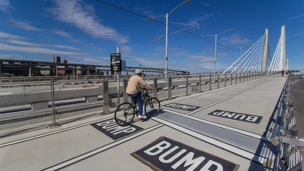
Portland and Multnomah County Push for Lower Speed Limits on Bridges
The Portland Bureau of Transportation and Multnomah County agree on a 30 mph speed limit on five downtown bridges, but the state's department of transportation denied the change on two key spans.
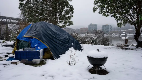
Portland Warming Shelters Close Despite Persistent Cold
Advocates say using an arbitrary temperature cutoff to open and close winter shelters ignores the reality of cold weather risks.
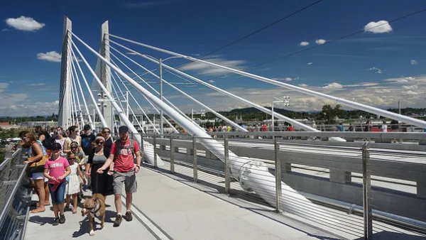
A Game-Changing Bike and Pedestrian Bridge Opens in Portland
A bridge in the works since the 1970s marks significant progress for active transportation in Portland, Oregon.

Planetizen Federal Action Tracker
A weekly monitor of how Trump’s orders and actions are impacting planners and planning in America.

California plans to bury El Niño’s downpour
If the state plays its cards right, it may be able to store a billion acre-feet of El Niño’s water in aquifers.

Desperate measures: Advocates weigh draining Lake Powell to fill Colorado River
Draining the reservoir could reduce evaporation losses by a couple hundred thousand acre-feet.

Los Angeles just elected an urban planner as its mayor
Transportation analysts are optimistic that Raman will be more aggressive in addressing transit issues than Bass.

Mamdani’s pied-à-terre tax survives legal challenge
A panel of judges found that the plaintiffs failed to demonstrate injury as a result of New York City's implementation of the tax.

Eastern Nebraska is running out of electricity
Data centers and electrification are straining eastern Nebraska’s grid, throttling economic development.

FREE Course: Walkable City 1: Why Walkability?
After describing his path towards focusing on walkability as the essence of good planning, Jeff Speck marches through his five principal reasons for making more walkable places.
Reinventing Malls: Planning Alchemy—Turning Gray Fields Into Gold
The course focuses on the opportunities and imperatives that shape reinvention of mall sites.

City of Rosemead
Rutgers University, Edward J. Bloustein School of Planning and Public Policy
One Hundred Miles
University of Michigan School for Environment and Sustainability (SEAS)
Hunter College, City University of New York (CUNY)
The Architects Foundation
City of Cambridge
Montrose County
The Pocatello Development Authority