


The Marchetti Constant, the willingness of people to travel for about a half an hour to get to and from work, explains the size of cities in history, and the metropolitan areas of today.
Jonathan English explains the Marchetti Constant:
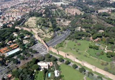
In 1994, Cesare Marchetti, an Italian physicist, described an idea that has come to be known as the Marchetti Constant [pdf]. In general, he declared, people have always been willing to commute for about a half-hour, one way, from their homes each day.
This principle has profound implications for urban life. The value of land is governed by its accessibility—which is to say, by the reasonable speed of transport to reach it.
English also takes a tour of urban history for examples of how the Marchetti Constant has played out, and how cities have changed as transportation technology has changed and enabled longer commutes. The pattern has repeated, writes English, over and over again, from Ancient Rome to Paris to London to Chicago and, finally, Atlanta.
FULL STORY: The Commuting Principle That Shaped Urban History

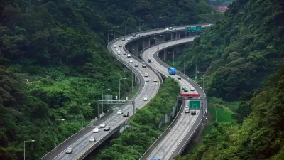
Reports of 'Mega-Commutes' Greatly Exaggerated
No one is denying that many Americans endure long, arduous commutes. But the data does not verify reports that "mega-commutes" are on the rise.
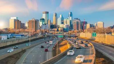
Twin Cities Commutes Faster Than Pre-Pandemic
Workers who have returned to in-person jobs are still experiencing less traffic congestion than in 2019.
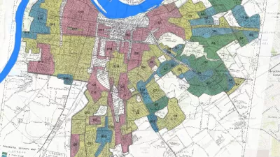
Story Mapping the Racism in Planning History
A Story Map created by the Louisville Metro Office of Planning & Design Services offers a detailed, visual presentation of the history of racism and discriminatory in the planning and zoning of the Louisville and Jefferson County.

Maui's Vacation Rental Debate Turns Ugly
Verbal attacks, misinformation campaigns and fistfights plague a high-stakes debate to convert thousands of vacation rentals into long-term housing.

Planetizen Federal Action Tracker
A weekly monitor of how Trump’s orders and actions are impacting planners and planning in America.

In Urban Planning, AI Prompting Could be the New Design Thinking
Creativity has long been key to great urban design. What if we see AI as our new creative partner?

How Trump's HUD Budget Proposal Would Harm Homelessness Response
Experts say the change to the HUD budget would make it more difficult to identify people who are homeless and connect them with services, and to prevent homelessness.

The Vast Potential of the Right-of-Way
One writer argues that the space between two building faces is the most important element of the built environment.

Florida Seniors Face Rising Homelessness Risk
High housing costs are pushing more seniors, many of them on a fixed income, into homelessness.
Urban Design for Planners 1: Software Tools
This six-course series explores essential urban design concepts using open source software and equips planners with the tools they need to participate fully in the urban design process.
Planning for Universal Design
Learn the tools for implementing Universal Design in planning regulations.
Gallatin County Department of Planning & Community Development
Heyer Gruel & Associates PA
JM Goldson LLC
City of Camden Redevelopment Agency
City of Astoria
Transportation Research & Education Center (TREC) at Portland State University
Jefferson Parish Government
Camden Redevelopment Agency
City of Claremont