Planners in multiple decades have sought to dedicate center lanes of K Street in downtown Washington, D.C. to high-capacity transit. The mayor recently offered a strong show of support.


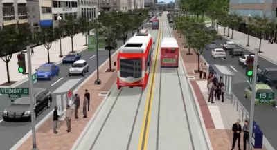
"In her State of the District address Monday evening, DC Mayor Muriel Bowser pledged $122 million to build the K Street Transitway," reports David Alpert.
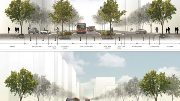
According to Alpert, "the K Street Transitway would create dedicated middle lanes for buses on K Street NW between Mount Vernon Square and Washington Circle." The new lanes would save thousands of bus riders a lot of time crossing downtown in the nation's capital.
Planners have been working on the K Street Transitway for over a decade. Alpert also reported on the project in 2009, and this week's articles includes renderings from 2005. A streetcar has also been proposed for the same right of way. Planetizen most recently picked up news about the K Street Transitway plans in 2017, billed at the time as a streetcar extension.
Alpert concludes the article with some ideas about what to watch for to assess whether the K Street Transitway is finally out of planning purgatory.
Read the full story: The K Street Transitway gets $122 million. What’s the K Street Transitway?

D.C. Fare-Free Transit Program Could Come at the Expense of the K Street Transitway
When presented with a choice between investing in improved service or funding a fare-free program, the D.C. Council is choosing fare-free transit, and potentially overriding the wishes of the mayor.
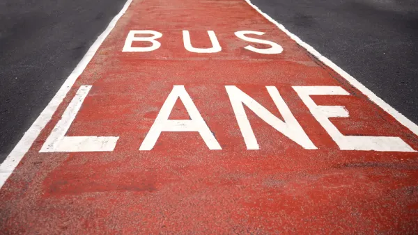
New Bus-Only Lanes Arrive in D.C.
The new bus lanes will operate at morning and afternoon rush hours starting today.
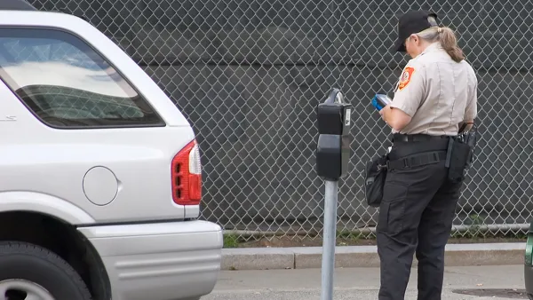
Vision Zero Proposal Includes Citizen Parking Enforcement
One perhaps overlooked detail of an ambitious Vision Zero bill proposed last week for Washington, D.C.: a provision that would allow ordinary citizens to issue parking tickets.

Planetizen Federal Action Tracker
A weekly monitor of how Trump’s orders and actions are impacting planners and planning in America.

The state-sanctioned urbicide of Austin
People don’t kill cities. Freeways do.

US to reduce Colorado River water deliveries to Mexico
A new Colorado Treaty amendment reduces Mexico’s Colorado River water allocation by 250,000 acre feet.

Nation's most wind-powered state turns to coal as data centers increase energy demand
For the first time in decades, Iowa has increased its generation of coal power.

NYC cools commuters with city's first rain garden above a bus stop
New York City officials say the plants in the rain garden can absorb 16 gallons of rainwater during heavy storms.

Brightline West’s future may rely on $6 billion federal loan
The company has until Nov. 2 to make a $400 million equity investment into its proposed high-speed rail line.

FREE Course: Walkable City 1: Why Walkability?
After describing his path towards focusing on walkability as the essence of good planning, Jeff Speck marches through his five principal reasons for making more walkable places.
Reinventing Malls: Planning Alchemy—Turning Gray Fields Into Gold
The course focuses on the opportunities and imperatives that shape reinvention of mall sites.

Eagle County Government
Harvard University Graduate School of Design
Nashville Planning Department
The Architects Foundation
University of Cincinnati Online
The Pocatello Development Authority
The Urban Renewal Agency of the City of Pocatello
Journal of the American Planning Association