A plan to literally change the shape of Manhattan.


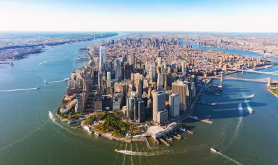
An article written by New York City Mayor Bill de Blasio in the pages of New York Magazine lays out an ambitious new plan to prepare for sea level rise by extending the shoreline of Manhattan.
To address one of the biggest gaps in the city's climate change defenses, according to Mayor de Blasio, "We’re going to protect Lower Manhattan, which includes the Financial District, home to a half-million jobs, 90,000 residents, and the nexus of almost all our subway lines."
More specifically: "South Street Seaport and the Financial District, along the eastern edge of Lower Manhattan, sit so close to sea level — just eight feet above the waterline — and are so crowded with utilities, sewers, and subway lines that we can’t build flood protection on the land. So we’ll have to build more land itself."
Manhattan could eventually be as much as 500 feet longer at its southern end if that plan is implemented.
In addition to describing the plan in more detail, Mayor de Blasio also makes an appeal for federal support in funding the project. "I don’t expect deniers like President Trump to come to the table on this," writes the mayor. "The coalescing agenda represented by the Green New Deal is our best shot."
Additional analysis of Mayor de Blasio's pitch is available from an article by Jonathan Hilburg and another by Annie McDonough.
Read the full story: My New Plan to Climate-Proof Lower Manhattan

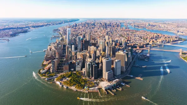
Opinion: One Solution to Manhattan's Land Shortage: Just Build It
A New York Times op-ed calls on the city to add landfill development on Manhattan's southern shoreline, claiming it would increase affordability and protect the city from rising sea levels.

Lower Manhattan Climate Resilience Plan Released
The Financial District and Seaport Climate Resilience Master Plan will extend the shoreline in Lower Manhattan by up to 200 feet.

Another Major Climate Win for Big Oil in Federal Court
A New York federal district court rules on a climate change lawsuit like its West Coast counterpart did last month: Don't hold oil companies accountable for climate change and sea level rise. Baltimore and Rhode Island file climate change lawsuits.

Planetizen Federal Action Tracker
A weekly monitor of how Trump’s orders and actions are impacting planners and planning in America.

California plans to bury El Niño’s downpour
If the state plays its cards right, it may be able to store a billion acre-feet of El Niño’s water in aquifers.

Chicago breaks ground on $3 billion megadevelopment
The new neighborhood, titled Foundry Park, will one day host 3,700 residences.

California High-Speed Rail Authority CEO resigns after $600,000 scandal
Under Ian Choudri, the authority used taxpayer dollars to fund first class flights and trips to nightclubs.

Want to study the Missouri River? Soon, you may need unanimous approval from 10 states
Legislation would require 10 governors’ permission to study or build projects moving water outside the basin.

Desperate measures: Advocates weigh draining Lake Powell to fill Colorado River
Draining the reservoir could reduce evaporation losses by a couple hundred thousand acre-feet.

FREE Course: Walkable City 1: Why Walkability?
After describing his path towards focusing on walkability as the essence of good planning, Jeff Speck marches through his five principal reasons for making more walkable places.
Reinventing Malls: Planning Alchemy—Turning Gray Fields Into Gold
The course focuses on the opportunities and imperatives that shape reinvention of mall sites.

City of Rosemead
Rutgers University, Edward J. Bloustein School of Planning and Public Policy
One Hundred Miles
Hunter College, City University of New York (CUNY)
The Architects Foundation
University of Cincinnati Online
City of Cambridge
Montrose County
The Pocatello Development Authority