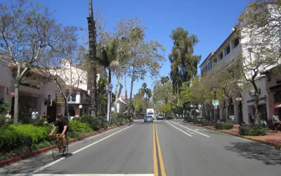
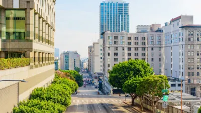
Machine learning has opened a new frontier in urban forest management.

Linda Poon shares news of a new mapping effort enabled by artificial intelligence (AI) that measures the number of trees in cities.
Finding the answer to the question of how many trees are living in a city can be a monumental task, according to Poon. "New York City’s 2015-2016 tree census, for example, took nearly two years (12,000 hours total) and more than 2,200 volunteers. Seattle’s tree inventory won’t be complete until at least 2024."
Still, there are good reasons to count the trees too, according to Poon. "[I]n the short term, they allow cities to better maintain their urban trees. And over the long run, they lay out the foundation for various initiatives that address everything from climate change to public health."
That's where Descartes Labs comes in, with new technology that leverages AI to measure trees in urban settings. "In their quest to leave no tree uncounted, they built a machine learning model that can map an entire city’s canopy, even subtracting other greenery that might look like trees in satellite imagery," reports Poon.
The article includes a lot more about the results (including detailed maps) and the potential of the new tool.
FULL STORY: Every Tree in the City, Mapped

Planetizen Federal Action Tracker
A weekly monitor of how Trump’s orders and actions are impacting planners and planning in America.

Restaurant Patios Were a Pandemic Win — Why Were They so Hard to Keep?
Social distancing requirements and changes in travel patterns prompted cities to pilot new uses for street and sidewalk space. Then it got complicated.

Maui's Vacation Rental Debate Turns Ugly
Verbal attacks, misinformation campaigns and fistfights plague a high-stakes debate to convert thousands of vacation rentals into long-term housing.

In California Battle of Housing vs. Environment, Housing Just Won
A new state law significantly limits the power of CEQA, an environmental review law that served as a powerful tool for blocking new development.

Boulder Eliminates Parking Minimums Citywide
Officials estimate the cost of building a single underground parking space at up to $100,000.

Orange County, Florida Adopts Largest US “Sprawl Repair” Code
The ‘Orange Code’ seeks to rectify decades of sprawl-inducing, car-oriented development.
Urban Design for Planners 1: Software Tools
This six-course series explores essential urban design concepts using open source software and equips planners with the tools they need to participate fully in the urban design process.
Planning for Universal Design
Learn the tools for implementing Universal Design in planning regulations.
Heyer Gruel & Associates PA
JM Goldson LLC
Custer County Colorado
City of Camden Redevelopment Agency
City of Astoria
Transportation Research & Education Center (TREC) at Portland State University
Camden Redevelopment Agency
City of Claremont
Municipality of Princeton (NJ)


