


The Central SoMa Plan, which sets development goals for a key swath of Downtown San Francisco, got bigger as it moved through a lengthy approval process.
San Francisco has granted preliminary approval for the Central SoMa Plan, culminating years of planning and making space for 8,800 housing units and 31,000 jobs.
"A portion of downtown San Francisco will change dramatically with thousands of housing units, jobs — and even a public swimming pool — under a plan finally approved Tuesday by the Board of Supervisors after eight years of hearings, amendments and negotiations," reports Trisha Thadani.
San Francisco Supervisor Jane Kim is quoted in the article saying the Central SoMa Plan is "the biggest area plan the city has passed."
"The rezoning of Central SoMa was initially about creating the large-floor-plate office buildings coveted by tech companies. It originally envisioned about 7,000 housing units and space for about 39,000 jobs. But as the city’s housing crisis worsened over the years, city planners and supervisors pushed to increase the amount of housing," according to Thadani.
The article includes a lot more details about provisions in the plan for affordable housing, past opposition to the plan, and next steps.
FULL STORY: Plan to transform much of SoMa adopted after 8 years

San Francisco's Massive 'Central SoMa Plan' Faces Litigation
The Central SoMa Plan took more than seven years of planning and debate to approve. A new lawsuit, expected to be just the first of many, threatens to erase all that work.
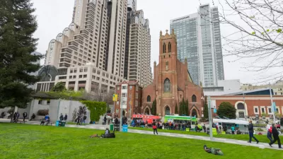
New Neighborhood Plan in San Francisco Pitches the Public Benefits of Density
Central SoMa ("South of Market") in San Francisco will soon have a new neighborhood plan. Planners hope zoning changes will reap rewards in property values and public benefits.

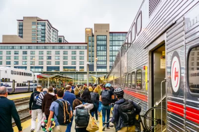
Sioux Falls Multi-Family Development Outpaces Transportation Improvements
Sioux Falls, South Dakota is undergoing a multi-family development boom. Residents are increasingly concerned about the traffic the development brings, according to local news reports.

Planetizen Federal Action Tracker
A weekly monitor of how Trump’s orders and actions are impacting planners and planning in America.

Restaurant Patios Were a Pandemic Win — Why Were They so Hard to Keep?
Social distancing requirements and changes in travel patterns prompted cities to pilot new uses for street and sidewalk space. Then it got complicated.

Map: Where Senate Republicans Want to Sell Your Public Lands
For public land advocates, the Senate Republicans’ proposal to sell millions of acres of public land in the West is “the biggest fight of their careers.”

Maui's Vacation Rental Debate Turns Ugly
Verbal attacks, misinformation campaigns and fistfights plague a high-stakes debate to convert thousands of vacation rentals into long-term housing.

San Francisco Suspends Traffic Calming Amidst Record Deaths
Citing “a challenging fiscal landscape,” the city will cease the program on the heels of 42 traffic deaths, including 24 pedestrians.

California Homeless Arrests, Citations Spike After Ruling
An investigation reveals that anti-homeless actions increased up to 500% after Grants Pass v. Johnson — even in cities claiming no policy change.
Urban Design for Planners 1: Software Tools
This six-course series explores essential urban design concepts using open source software and equips planners with the tools they need to participate fully in the urban design process.
Planning for Universal Design
Learn the tools for implementing Universal Design in planning regulations.
Heyer Gruel & Associates PA
JM Goldson LLC
Custer County Colorado
City of Camden Redevelopment Agency
City of Astoria
Transportation Research & Education Center (TREC) at Portland State University
Camden Redevelopment Agency
City of Claremont
Municipality of Princeton (NJ)