Alexandria, Virginia's waterfront was built on landfill below the natural elevation of the Potomac River. City officials hope to build new seawalls to protect that area from floods.


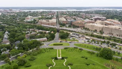
Alexandria, Virginia floods regularly. "These floods do not yet severely affect the infrastructure in the flood zone, but the city has a significant maintenance budget nonetheless," Rita Abou Samra reports for Greater Greater Washington. These small floods can carry debris into the city and disrupt transit around the waterfront. But officials worry that with climate change making "100-Year Storms" more common, the city could suffer something worse than a waterlogged coast.
Alexandria has moved the Old Dominion Boat Club and intends to implement some flood calming measures. "Among them: a continuous riverfront promenade that acts as a seawall and protects against rising waters, which the currently fragmented shoreline does not," Abou Samra reports. Implementing flood protection looks to be a long process that the city hopes to complete in phases, beginning with shoreline improvements and moving inland from there.
"The new waterfront plan aims to preserve the area's history, reclaim its parks and make them more usable for more people, and to mitigate the impacts of floods," Samra reports.
Read the full story: Alexandria is already often waterlogged. How will it adjust to climate change?

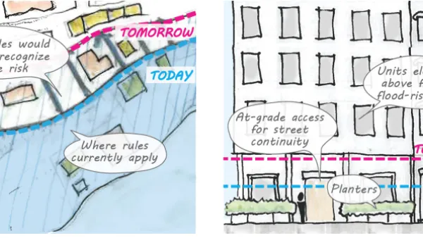
Proposed Citywide Rezoning Would Layer Resilience in New York City
With 520 miles of coastline, New York City is ready to implement the lessons of Hurricane Sandy in the zoning code for the entire city.

Restricting Floodplain Development in the Nation's Capital
The D.C. Department of Energy and Environment has read the writing on the wall.
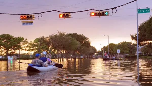
Flooding Less of a Concern as Hurricane Memories Fade
Residents of Houston are less likely to think of flooding as a concern, or to think development should be prohibited in flood-prone areas, as in the years immediately following Hurricane Harvey.

Planetizen Federal Action Tracker
A weekly monitor of how Trump’s orders and actions are impacting planners and planning in America.

Amtrak, CN end decades-long dispute with eight-year agreement
The new operating agreement establishes an updated framework for the companies to work together, including processes to resolve disputes.
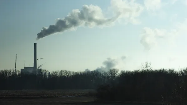
Nation's most wind-powered state turns to coal as data centers increase energy demand
For the first time in decades, Iowa has increased its generation of coal power.

Alabama scores up to $2.5 billion federal loan for largest infrastructure project in state’s history
The Mobile River Bridge and Bayway Project aims to ease congestion at Alabama’s worst bottleneck.

Trump is considering data centers on 6 states' public land — some state officials say they had no idea
If the administration approves the proposed projects, data center and data center-related developments will cover 17,600 acres of public land.

Despite court ruling, Trump is keeping nearly all wind projects in the US on hold
At least 110 wind energy projects have not heard from the government since a federal judge ruled that the Trump administration's freeze on wind turbine clearances was likely illegal.

FREE Course: Walkable City 1: Why Walkability?
After describing his path towards focusing on walkability as the essence of good planning, Jeff Speck marches through his five principal reasons for making more walkable places.
Reinventing Malls: Planning Alchemy—Turning Gray Fields Into Gold
The course focuses on the opportunities and imperatives that shape reinvention of mall sites.

KFH Group Inc.
Greater Baltimore Committee
Eagle County Government
The Architects Foundation
University of Cincinnati Online
The Pocatello Development Authority
The Urban Renewal Agency of the City of Pocatello