Legislation from a former supervisor could transform much of San Francisco, particularly the outer-neighborhoods, by increasing heights and density along transit corridors. Opposition is growing.



"Senate Bill 827, authored by state Sen. Scott Wiener, D-San Francisco, could allow five- and eight-story buildings to sprout in neighborhoods that traditionally have seen mostly single-family homes and two-unit duplexes," reports Joe Fitzgerald Rodriguez for the San Francisco Examiner on February 18, 2018.
In San Francisco, where transit corridors with frequent buses and trains are numerous, “virtually the entire city” would be rezoned to allow taller residential buildings, according to an analysis [pdf] from the San Francisco Planning Department sent to planning commissioners on Feb. 5.
The Sunset, Richmond, Castro, Eureka Valley, Twin Peaks and more may see zoning changes to allow the rise of taller buildings. Even neighborhoods already zoned for taller buildings, like the Mission, would see an increase in density.
Rodriguez centers on the western neighborhood, the city's largest, known as the Sunset District. Hardware store owner and native San Franciscan, Albert Chow, is worried about the bill.
“The Sunset is the quiet suburban side of San Francisco," he states. But under the bill, Chow said, “The feel of the Sunset would be changed.”
Wiener, a former city supervisor, responds that other areas in the city have too long borne the brunt of new housing development.
“We have huge areas that get little or no density … We need density equity in San Francisco,” Wiener said.
The Planning Department is also concerned about how the bill links transit frequency with zoning and street widths with minimum building heights.
“Under the proposed bill, if an operator were to cut service from 15 minutes to 18 minutes, that would trigger a sudden rezoning for ¼-mile around the bus route," the Planning Department wrote.
As for street widths and building heights, the bill's text reads:
If the transit-rich housing project is within either a one-quarter mile radius of a high-quality transit corridor or within one block of a major transit stop, any maximum height limitation that is less than 85 feet, except in cases where a parcel facing a street that is less than 45 feet wide from curb to curb, in which case the maximum height shall not be less than 55 feet.
“The bill set up the unfortunate unintended consequence that property owners and developers would be inclined to oppose sidewalk widening since it could result in a significant downzoning,” notes the Planning Department.
Opposition grows in Los Angeles over displacement due to upzoning.
Local laws in Los Angeles, for instance, don’t offer the same robust tenant protections that exist in San Francisco, which prompted 37 housing and community nonprofits there, including the Central American Resource Center and the Koreatown Immigrant Workers Alliance, to sign an open letter opposing the bill.
As Wiener told the planning department, “Just to be very clear, the bill is a work in progress. We know it’s an aggressive bill.”
Wiener told the Examiner he is working “intensively” on anti-displacement language for the bill, including making it “crystal clear” the bill does not lessen local controls that discourage displacement of tenants leading to demolition of housing.
Read the full story: Senate Bill 827 could raise height limits throughout SF, transform city


Amendments to Sen. Wiener's 'More HOMES Act' Address Jobs-Housing Balance
"Jobs-rich area," a new term that targets some suburban regions, is among amendments added March 11 to Senate Bill 50, the reincarnation of Wiener's controversial SB 827 housing bill that died last year.
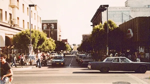
Berkeley Mayor Condemns Legislation to Increase Housing Density by Transit
Mayor Jesse Arreguín's charges about permissible heights, demolition of rent-controlled housing and displacement that would result from Senate Bill 827 by Sen. Wiener are refuted in the Berkeleyside article, though the latter two have resonance.
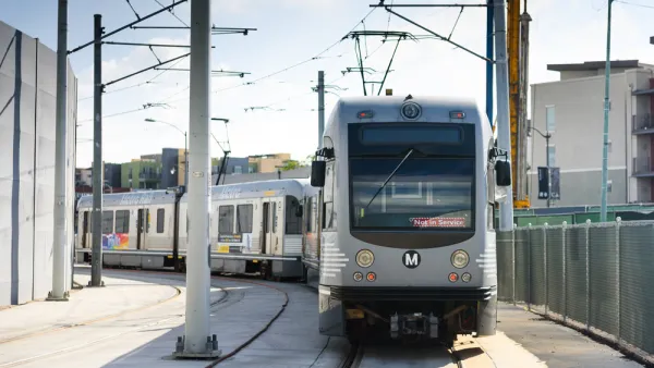
L.A.'s Mayor Garcetti Sides With Single-Family Housing Near Transit
Politicians are taking positions on a controversial California housing bill to densify by transit. Even after amendments were accepted on March 1 in response to concerns about displacement and demolitions, the mayor of Los Angeles remains opposed.

Planetizen Federal Action Tracker
A weekly monitor of how Trump’s orders and actions are impacting planners and planning in America.

California plans to bury El Niño’s downpour
If the state plays its cards right, it may be able to store a billion acre-feet of El Niño’s water in aquifers.

Chicago breaks ground on $3 billion megadevelopment
The new neighborhood, titled Foundry Park, will one day host 3,700 residences.

Satanic Place Names
From streams and lakes to valleys and canyons, I mapped more than 1,000 places named after the Devil.

California High-Speed Rail Authority CEO resigns after $600,000 scandal
Under Ian Choudri, the authority used taxpayer dollars to fund first class flights and trips to nightclubs.

Want to study the Missouri River? Soon, you may need unanimous approval from 10 states
Legislation would require 10 governors’ permission to study or build projects moving water outside the basin.

FREE Course: Walkable City 1: Why Walkability?
After describing his path towards focusing on walkability as the essence of good planning, Jeff Speck marches through his five principal reasons for making more walkable places.
Reinventing Malls: Planning Alchemy—Turning Gray Fields Into Gold
The course focuses on the opportunities and imperatives that shape reinvention of mall sites.

City of Rosemead
Rutgers University, Edward J. Bloustein School of Planning and Public Policy
One Hundred Miles
Hunter College, City University of New York (CUNY)
The Architects Foundation
University of Cincinnati Online
City of Cambridge
Montrose County
The Pocatello Development Authority