As the second busiest bus corridor in the area, Vermont Avenue is currently a candidate for bus rapid transit. But would rail be a better choice?


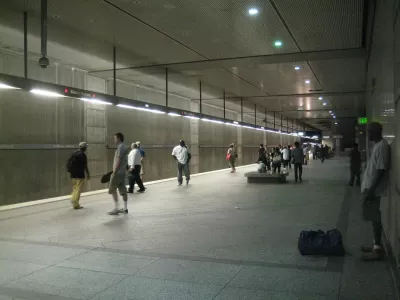
Vermont Avenue, a north-south corridor running through Los Angeles west of the 110 Freeway and LA Metro's Blue Line, is ripe for a transit upgrade. Alon Levy writes, "While Vermont is the second busiest bus corridor in the region, after Wilshire, the plan is to equip it with BRT, and not rail, even though weaker corridors around the area are slated for rail extensions."
As Levy argues, a rail line would enable higher capacities and create fewer traffic hiccups along the route's many intersections. "Without Vermont, riders from farther east still have the Blue Line. But to the west, there are no good corridors: the Crenshaw Line is constructed partly at-grade, and only as far north as the Expo Line [...]"
Costly tunneling, Levy says, wouldn't even be necessary along the entire stretch. "Only the five and a half miles between Wilshire and Gage Avenue need be underground. South of Gage, the street widens considerably to about 180 feet across. On streets so wide, an elevated rapid transit line would not block the sun from the sidewalk, or emit too much noise bothering pedestrians."
FULL STORY: A Vermont Avenue Subway Should be A Priority For Metro

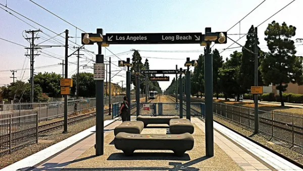
Busy Section of L.A. Rail Transit Had Quicker Service in 1916
Over a century ago, the Pacific Electric Railway operated a line between downtown Los Angeles and Long Beach that competed its journey ten minutes faster than LA Metro's Blue Line does. What gives?
Major Temporary Closures Coming to Los Angeles Metro Rail
Metro will close several stretches of the Blue and Green lines as it completes $350 million worth of upgrades and opens the new Crenshaw Line. More than 100,000 daily riders may be inconvenienced.
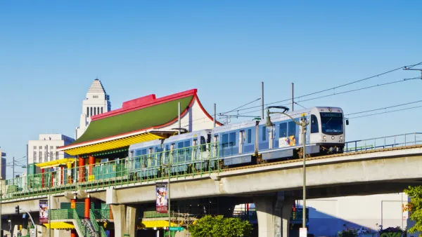
With a Growing Number of Transit Projects Planned, L.A. Considers Renaming Rail Lines
Like many cities, L.A. already has two trains in the blue color family. With more rail projects in the works, some think it's time to update the system.

Planetizen Federal Action Tracker
A weekly monitor of how Trump’s orders and actions are impacting planners and planning in America.

The state-sanctioned urbicide of Austin
People don’t kill cities. Freeways do.

US to reduce Colorado River water deliveries to Mexico
A new Colorado Treaty amendment reduces Mexico’s Colorado River water allocation by 250,000 acre feet.

5 New England states march closer to 800 megawatt wind energy project
Securing federal approval for the project may be complicated under the Trump administration, which has historically been hostile towards domestic wind power.

Baltimore to break ground on $50 million Transit Priority Project
The project will bring faster bus trips, safer streets and better bike connections to Baltimore.

Airbnb launches $250 million 'last-dollar financing' housing accelerator, makes first investment in Austin
The company will put $6.4 million towards affordable housing development in Texas’ capital.

FREE Course: Walkable City 1: Why Walkability?
After describing his path towards focusing on walkability as the essence of good planning, Jeff Speck marches through his five principal reasons for making more walkable places.
Reinventing Malls: Planning Alchemy—Turning Gray Fields Into Gold
The course focuses on the opportunities and imperatives that shape reinvention of mall sites.

Eagle County Government
Harvard University Graduate School of Design
Nashville Planning Department
The Architects Foundation
University of Cincinnati Online
The Pocatello Development Authority
The Urban Renewal Agency of the City of Pocatello
Journal of the American Planning Association