Technology
Planning Better Bike Infrastructure with Wikimaps
Fairfax County, Virginia is taking an innovative approach to crowdsourcing feedback on how to improve bicycle infrastructure around transit stations.
Now Available on DART's Mobile Ticketing App: Uber
Transit planners who see transportation network companies as a potential benefit to public transit will want to pay attention to Uber's new partnership in Dallas.
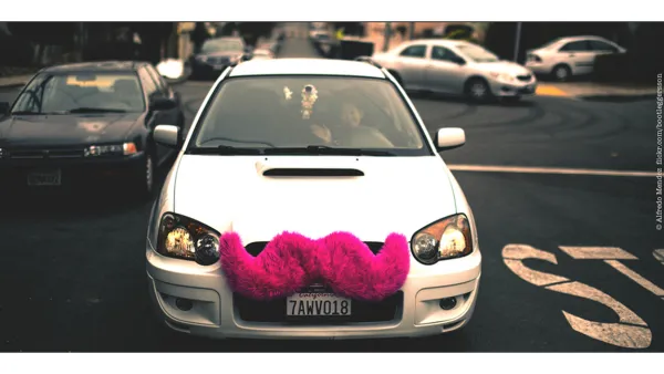
How Cities Are Regulating the Sharing Economy
Compiled from interviews conducted with city officials, this National League of Cities report gives us a regulator's-eye-view of the sharing economy. Among the topics discussed are equity, taxation, and data transparency.
Details about ParkDC—Washington, D.C.'s Performance Parking Program
As the District Department of Transportation (DDOT) quickly approaches the May target for the launch of ParkDC, Greater Greater Washington takes a closer look at what the performance parking program will entail.

Boston Parking Meters to Get Smart
Over the next two years, Boston will replace its old parking meters with new ones connected to the internet. With this groundwork in place, pay-by-phone parking is the next step.
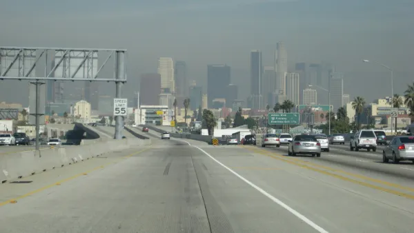
Farewell to the Trusty Map Book
From the years roughly spanning the invention of the automobile to the invention of the smartphone, every driver in Los Angeles traveled with a Thomas Bros. map book. Those days are gone, but nostalgia for physical maps remains.
Management, Not Technology, Will Solve California's Drought
It should come as no surprise that Eduardo Porter, who writes the Economic Scene column for The New York Times, is not enamoured by technological silver bullets like desalination as ways for California to survive it's four-year plus drought.
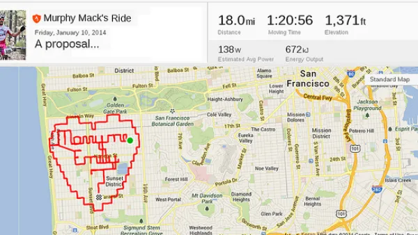
Fitness Apps Are the New Planning Tool
Many smartphone users have a fitness app that they use to track their routes and progress on fitness goals. The data in these apps is a gold mine for planners, helping lead to better infrastructure investments.
Data, Communications, and the Future of Urban Mobility
Qualcomm and Arup recently published a report on their vision for the future of connected cities. We spoke to Chris Luebkeman, Arup Fellow and Global Director of Foresight, Research and Innovation, and Qualcomm's Kiva Allgood to learn more.
Introducing the Latest City-Building Simulation Game
The "Cities: Skylines" city-building simulation game enters the scene long dominated by SimCity.
San Francisco MUNI's New Competition (in the Marina District, at Least)
Live in the Marina District and work downtown or SoMA? You now have more transit choices thanks to two new startups, Chariot and Leap. Think of the two private shuttle services as Google buses for the public, except they are not quite so large.

Create Your Own Mobile Planning App
Ever wonder how you could create your own mobile app. This blog post shares tools that make it possible for planners to create apps, along with an example of Chip-In, an app focused on harnessing volunteer resources in communities.
Friday Eye Candy: Subway-Style Maps That Explain Everything
Ok maybe not everything, everything—but the recognizable tropes of subway maps do make it easier to explain everything from the development of cities to musical styles to interstellar scale.
9 New Navigation Technologies for the Visually Impaired
New technology could open a new era of independence for blind and visually impaired residents of communities everywhere.
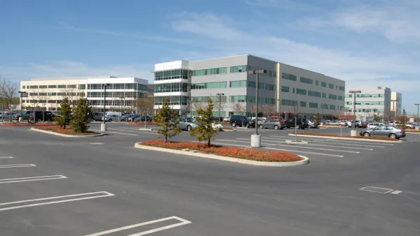
Tech Giants Bank on Growth, Acquire More Space
To provide room for long-term expansion, companies like Google, Facebook, and LinkedIn are buying up even more Bay Area real estate. Their flush cash reserves have them nudging out the traditional development and investment crowd.
Mapbox's Landsat-Live Presents Satellite Imagery in Near-Real Time
Until last week, the seasons never changed on satellite image software. But Mapbox's Landsat-Live program shares clear images of the Earth's surface in near-real time.
A Song for (Almost) Every City
An intrepid developer has combined the powers of OpenStreetMap, Wikipedia, and Spotify to map 7,681 songs about 212 cities across the globe.

An App for California State Parks
California's Department of Parks and Recreation is getting into the app business. It is hoped that CaliParks will help improve access to the state's parks for young people and minorities.
Uber Cars Now Outnumber Yellow Taxis in New York City
Looking for evidence of the new world order? Here's some from New York City: Uber cars now outnumber yellow-cabs.
Ohio State University Planning Accessible Bike Sharing System
Ohio State University plans to launch a bicycle sharing system this fall that is flexible and accessible, meeting the needs of many types of users. The system will include a mix of bicycles including tandem, hand cycle, electric assist, and others.

FREE Course: Walkable City 1: Why Walkability?
After describing his path towards focusing on walkability as the essence of good planning, Jeff Speck marches through his five principal reasons for making more walkable places.
Reinventing Malls: Planning Alchemy—Turning Gray Fields Into Gold
The course focuses on the opportunities and imperatives that shape reinvention of mall sites.

City of Rosemead
Rutgers University, Edward J. Bloustein School of Planning and Public Policy
One Hundred Miles
University of Michigan School for Environment and Sustainability (SEAS)
Hunter College, City University of New York (CUNY)
The Architects Foundation
City of Cambridge
Montrose County
The Pocatello Development Authority