Chicago
New Tool Accesses Chicago Open Data
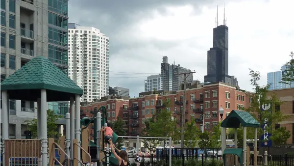
OpenGrid gathers together Chicago's open data, letting users specify areas of focus on a map of the city. Users can also overlay different datasets on the same map.
Details of Chicago's Vista Tower—Soon to Be the Tallest Building Designed by a Woman
The Vista Tower is expected for completion in 2020, when it will become the world's tallest tower designed by a woman.
Viaduct Removal Coming to Chicago's Western Avenue
Demolition of the Western Avenue viaduct will begin on March 1. An at-grade intersection will replace the old structure.
Loan Program Provides Gentrification Defense Near Chicago's 606 Bike Trail
That beautiful new bike lane, known as the 606, in Chicago has brought along with it local concerns about gentrification. The city and a local non-profit have teamed up to create a loan program to help current residents stay ahead of the curve.
Mayor Emanuel Pitches Expanded Density Bonuses in Downtown Chicago
Chicago Mayor Rahm Emanuel proposed an expansion of the city's Downtown Zoning District this week. The changes would allow taller buildings in a larger swath of the city.
Record Numbers of Riders Took to Rail in Chicago in 2015
The Chicago Transit Authority has something to celebrate as it tries to dig itself out of a budgetary hole.
Mapping Ten Years of Affordable Housing Projects in Chicago
The power of open data and mapping is on display in a map by Chicago Cityscape that shows all building permits for affordable housing in Chicago over the past decade.
Heady Market in Chicago's North Side Drives Teardowns
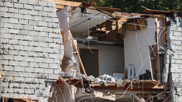
Lakeview, located north of Lincoln Park and adjacent to Lake Michigan, leads the city by a wide margin in residential teardowns over the past five years. Local developers are selling new homes for four times the original price paid.
Cook County Court: Bike Lanes More Than 'Recreational Facilities'
Proof that words matter—especially in court—came when Chicago tried to redefine bike lanes as recreational facilities.
When Bike Lanes Get Snowed In
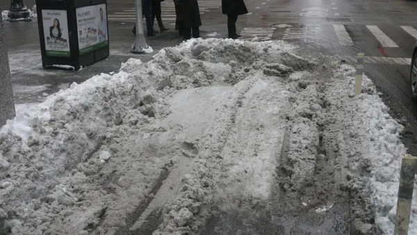
After heavy snow, protected bike lanes can be caught in an unfortunate position between roads and sidewalks. More public awareness may help keep them clear for winter cyclists.
City Nixes Idea to Shut Down More Streets for Cubs Games
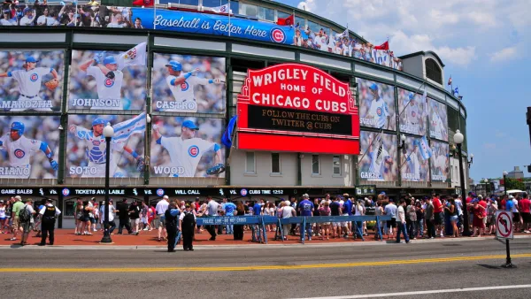
Any open streets benefits for a proposal to shut down Clark and Addison streets near Wrigley Field would have been secondary to security concerns—but it's all conjecture after the Mayor's Office nixed the idea.
New Research Explains Why Only Some Neighborhoods Get Bike Infrastructure
Canadian researchers made the case at the Transportation Research Board this past week that improved bike infrastructure and neighborhood gentrification go hand in hand. They used research gathered fromi Portland and Chicago.
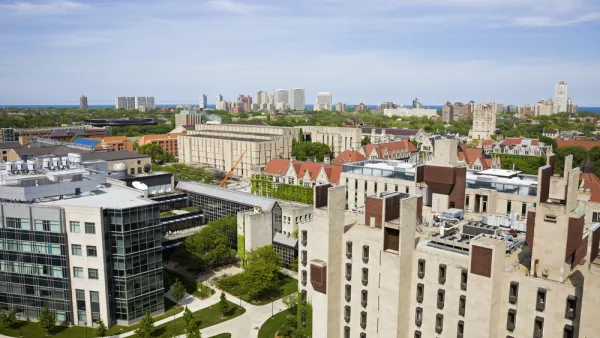
Chicago Universities Commit to Bolstering Growth
Eight Chicago universities have agreed to engage with the city and local communities as they invest in their neighborhoods. The hope is to increase opportunities for employment and economic growth.
Now Arriving on All Chicago Subway Lines: Wireless Internet
Chicago, with funding from the four major wireless carriers, has achieved a major amenity for transit users: 4G internet service along 22 miles of subway tracks in the CTA system.
7 Finalists Chosen for Obama Presidential Center Design
Now we know who will compete for one of the most coveted design contracts in the country: the presidential library that will bear Barack Obama's name.
Chicago Launches Loop Link BRT Service
Until this weekend, CTA buses in Downtown Chicago averaged a speed of 3 mph. The Loop Link is designed to improve those results.
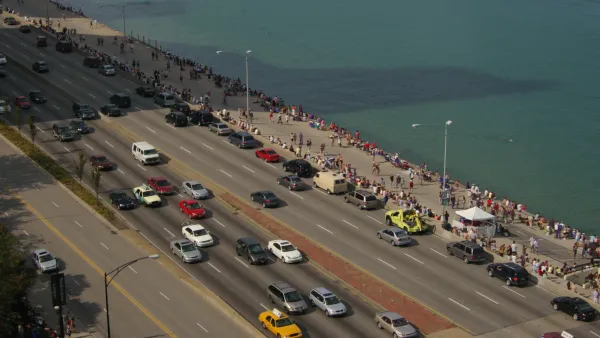
A Call to Put Chicago in the Driver's Seat for North Lake Shore Drive Redesign
An op-ed calls for the Illinois Department of Transportation to end its car-friendly approach to the redesign of North Lake Shore Drive.
Chicago's Lawrence Avenue Is Changing—Is the Neighborhood Ready?
The Lawrence Avenue corridor in Chicago is poised to evolve into "New Lawrence," but as development proposals follow a streetscape improvement project, the community is still sorting out what exactly "new" should mean.
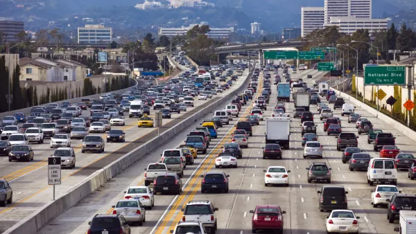
The 50 Worst Traffic Bottlenecks in the United States
This list of the worst places for traffic congestion in the country might cause some rubbernecking of its own.
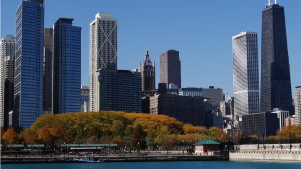
A Wake Up Call for Planning Commissioners
Planning commissioners play an essential role in monitoring issues and projects of critical importance to the welfare of entire neighborhoods and cities. Why then, do so many commissioners seem to be sleeping on the job?

FREE Course: Walkable City 1: Why Walkability?
After describing his path towards focusing on walkability as the essence of good planning, Jeff Speck marches through his five principal reasons for making more walkable places.
Reinventing Malls: Planning Alchemy—Turning Gray Fields Into Gold
The course focuses on the opportunities and imperatives that shape reinvention of mall sites.

City of Rosemead
Rutgers University, Edward J. Bloustein School of Planning and Public Policy
One Hundred Miles
University of Michigan School for Environment and Sustainability (SEAS)
Hunter College, City University of New York (CUNY)
The Architects Foundation
City of Cambridge
Montrose County
The Pocatello Development Authority