


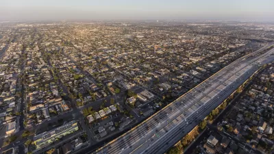
The Los Angeles City Planning Commission has approved new plans for parts of South Los Angeles. A focus on transit-oriented development and commercial revitalization has raised concerns over displacement.

Community plan updates for neighborhoods in South L.A. have been approved, but it's still too early to gauge the full breadth of stakeholder response. Elijah Chiland writes, "The two plans, which city officials are reviewing simultaneously, cover more than a dozen different neighborhoods roughly east of Arlington Avenue and south of Pico Boulevard, extending as far west as Alameda Street in places, and as far south as 120th Street. Neighborhoods within those boundaries include Historic South-Central, Vermont Square, Florence, and Watts."
The plans place "a focus on transit-oriented development, revitalization of commercial corridors, and the elimination of public health hazards that can arise when housing is situated within close proximity of industrial sites."
Despite the fact that many of L.A.'s aging plans are in desperate need of updates, some community activists are concerned that the plans do too little to discourage displacement of existing residents if that commercial revitalization succeeds.
FULL STORY: Planning commission approves new community plans for South LA

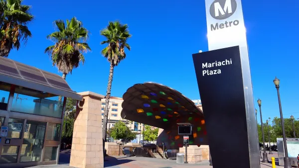
South L.A. Community Plans Tackle Gentrification
As public and private investment grow in South L.A., new community plans mark a victory for local organizers seeking to prevent displacement.
High Housing Costs Driving Down Transit Ridership in LA
When neighborhoods gentrify and displace lower-income residents, transit ridership suffers, new research shows.
Nipsey Hussle Wanted Community Partnerships for South L.A.’s Development Future
Before his death in March, Hussle has plans for an opportunity zone investment fund that would ensure the community wouldn’t lose out in the development process.

Planetizen Federal Action Tracker
A weekly monitor of how Trump’s orders and actions are impacting planners and planning in America.

Maui's Vacation Rental Debate Turns Ugly
Verbal attacks, misinformation campaigns and fistfights plague a high-stakes debate to convert thousands of vacation rentals into long-term housing.

San Francisco Suspends Traffic Calming Amidst Record Deaths
Citing “a challenging fiscal landscape,” the city will cease the program on the heels of 42 traffic deaths, including 24 pedestrians.

Amtrak Rolls Out New Orleans to Alabama “Mardi Gras” Train
The new service will operate morning and evening departures between Mobile and New Orleans.

The Subversive Car-Free Guide to Trump's Great American Road Trip
Car-free ways to access Chicagoland’s best tourist attractions.

San Antonio and Austin are Fusing Into one Massive Megaregion
The region spanning the two central Texas cities is growing fast, posing challenges for local infrastructure and water supplies.
Urban Design for Planners 1: Software Tools
This six-course series explores essential urban design concepts using open source software and equips planners with the tools they need to participate fully in the urban design process.
Planning for Universal Design
Learn the tools for implementing Universal Design in planning regulations.
Heyer Gruel & Associates PA
JM Goldson LLC
Custer County Colorado
City of Camden Redevelopment Agency
City of Astoria
Transportation Research & Education Center (TREC) at Portland State University
Jefferson Parish Government
Camden Redevelopment Agency
City of Claremont