


David Bowie and Mick Jagger approved.
"Philadelphia is a block party city," according to Jon Geeting, and it's no accident. "The city offers residents a very lightweight process for closing their streets for a weekend day of community fun: Pay an affordable $25 permit fee, and get the approval of 75% of the neighbors."
A block party culture has resulted from the ease of closing streets in Philadelphia, and given the city's role in allowing it all to happen, there's also a lot of data available about where and when the parties do down.
According to Geeting, "thanks to a new city dataset obtained by PlanPhilly, and mapped by GIS analyst Shrobona Karkun, the last ten years of block party data are available for our perusal." Thus, we have one of the funnest maps of all time, available at the article linked below, showing every block party hosted in the city of Philadelphia between 2006 and June 2016.
FULL STORY: Mapping 10 years of Philadelphia block parties

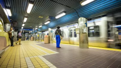
SEPTA Budget Slashes Service by 45 Percent
The Philadelphia-area transit agency is legally tasked with maintaining a balanced budget. Officials hope the state will come to the rescue with additional funding.

This City Will Pay You to Meet Your Neighbors
A North Kansas City grant program offers up to $400 for residents to throw neighborhood block parties.
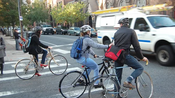
Philadelphia Swaps Car Lanes for Bikeways in Unanimous Vote
The project will transform one of the handful of streets responsible for 80% of the city’s major crashes.

Planetizen Federal Action Tracker
A weekly monitor of how Trump’s orders and actions are impacting planners and planning in America.

Maui's Vacation Rental Debate Turns Ugly
Verbal attacks, misinformation campaigns and fistfights plague a high-stakes debate to convert thousands of vacation rentals into long-term housing.

Restaurant Patios Were a Pandemic Win — Why Were They so Hard to Keep?
Social distancing requirements and changes in travel patterns prompted cities to pilot new uses for street and sidewalk space. Then it got complicated.

In California Battle of Housing vs. Environment, Housing Just Won
A new state law significantly limits the power of CEQA, an environmental review law that served as a powerful tool for blocking new development.

Boulder Eliminates Parking Minimums Citywide
Officials estimate the cost of building a single underground parking space at up to $100,000.

Orange County, Florida Adopts Largest US “Sprawl Repair” Code
The ‘Orange Code’ seeks to rectify decades of sprawl-inducing, car-oriented development.
Urban Design for Planners 1: Software Tools
This six-course series explores essential urban design concepts using open source software and equips planners with the tools they need to participate fully in the urban design process.
Planning for Universal Design
Learn the tools for implementing Universal Design in planning regulations.
Heyer Gruel & Associates PA
JM Goldson LLC
Custer County Colorado
City of Camden Redevelopment Agency
City of Astoria
Transportation Research & Education Center (TREC) at Portland State University
Jefferson Parish Government
Camden Redevelopment Agency
City of Claremont