A new guide helps communities set up groups that can help analyze their neighborhood data and put it to good use.


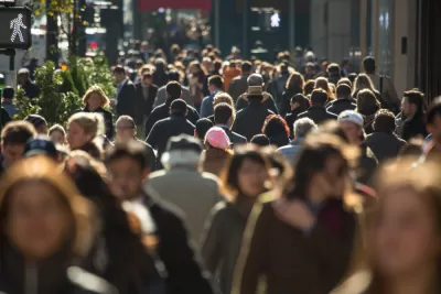
"Local data intermediaries" work with raw government data to produce accessible neighborhood indicators, which residents and stakeholders can use to fuel the changes and improvements communities want to see.
A guide to creating the intermediaries was published May 31 by National Neighborhood Indicators Partnership (NNIP)—a network of more than 20 such groups—and the Urban Institute.
Two scholars from the Institute explain in Next City that liaising between government and communities requires "trust, technical expertise, knowledge of the local context and coordination among multiple stakeholders." But if successful, they say, intermediaries can help "surface, explain and address the issues distressed communities face."
They give special note to NNIP's Baltimore chapter, which was able to add to the national discussion about the 2015 death of Freddie Gray in police custody by drawing on 15 years' worth of data about his neighborhood.
FULL STORY: Your City Needs a Local Data Intermediary Now

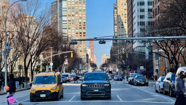
NYC’s ‘Rare and Comprehensive’ Public Data Reveals Congestion Pricing's Success
The Metropolitan Transportation Authority’s analytics and data team maintains over 180 regularly updated datasets about the city’s transportation system.
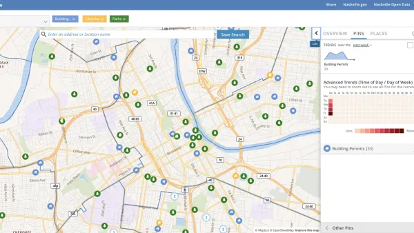
Presenting Municipal Data in an Interactive Map, Nashville Style
The city of Nashville launched the NashView interactive data map earlier this month.

How London's Leading on Transit Data
Transport for London is forging ahead on several projects to collect and use more rider data. One initiative draws on WiFi connections to map users' paths through the London Underground.

Planetizen Federal Action Tracker
A weekly monitor of how Trump’s orders and actions are impacting planners and planning in America.

The state-sanctioned urbicide of Austin
People don’t kill cities. Freeways do.

US to reduce Colorado River water deliveries to Mexico
A new Colorado Treaty amendment reduces Mexico’s Colorado River water allocation by 250,000 acre feet.

Mamdani overhauls NYC's Vision Zero plan with 100 new policy goals
The overhaul aims to reduce traffic deaths and make streets safer for pedestrians, cyclists and drivers through lower speed limits, new safety infrastructure and more.

Amtrak not solely to blame for New Jersey commuter rail's unreliability, report finds
A new study from the Garden State Initiative found that NJ Transit’s budget grew 20% across a 4 year period, but reliability declined significantly over the same period.

EPA erases limits on planet-warming pollution from power plants
Under Monday’s plan, power plants would still have some limits on how much mercury, arsenic and other contaminants they can emit.

FREE Course: Walkable City 1: Why Walkability?
After describing his path towards focusing on walkability as the essence of good planning, Jeff Speck marches through his five principal reasons for making more walkable places.
Reinventing Malls: Planning Alchemy—Turning Gray Fields Into Gold
The course focuses on the opportunities and imperatives that shape reinvention of mall sites.

Eagle County Government
Harvard University Graduate School of Design
Nashville Planning Department
The Architects Foundation
University of Cincinnati Online
The Pocatello Development Authority
The Urban Renewal Agency of the City of Pocatello
Journal of the American Planning Association