


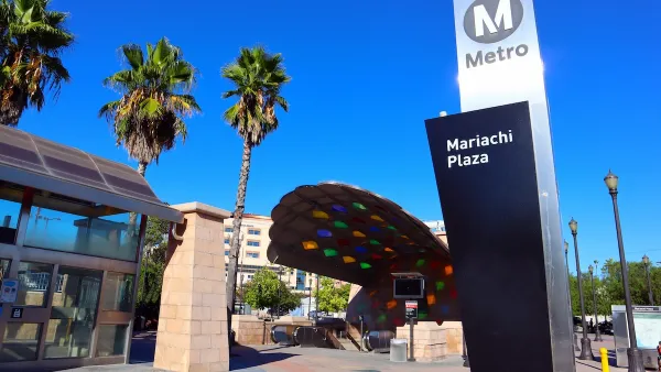
A researcher at Rice University finds that proclamations of Houston’s affordability, gentrification, and growth are just myths.

Ryan Holeywell of The Urban Edge looks at a new report produced by Lester King, a Rice researcher and urban planner, where King challenges four common “myths” about the Houston’s gentrification, population growth, affordability, and development in the Inner Loop. Among the findings is that the city's reputation for housing affordability fails to take into account that pay for workers is often lower and transportation costs higher than other large cities around the US.
“When transportation costs are added to housing costs as a percentage of income, many areas along the periphery of the city also become less affordable,” King writes. That means housing is cheaper in Houston, but not necessarily more affordable…
Houston ranks 26th for affordability, according to data King cites from the Center for Neighborhood Technology. The average Houstonian spends 46 percent of his income on housing and transportation costs. “This conflicts with Houston’s marketability as the affordable capital of the country,” King writes in his report.
Lester also finds that the anticipated growth of the city – 3.5 million new residents by 2035 – assumes that all of those people will move inside the city limits, but current trends show that the new residents will be absorbed across the Houston-Galveston metro region (a much larger area). The assumption that Houston will be absorbing all of those people, King’s reports states, “may be indirectly eroding its affordability and middle class wealth base, since land values are increasing to meet the needs of 3.5 million people, who are in fact not moving here at all.”
FULL STORY: Here Are Four Myths About Houston’s Growth


Houston's East River Redevelopment Threatens Historic Black Neighborhoods
Longtime residents are being left behind by new development that has raised housing costs and property taxes for some of Houston's most vulnerable communities, according to an article in the Houston Chronicle.
High Housing Costs Driving Down Transit Ridership in LA
When neighborhoods gentrify and displace lower-income residents, transit ridership suffers, new research shows.

Housing Vouchers as a Key Piece of Houston’s Housing Strategy
The Houston Housing Authority supports 19,000 households through the housing voucher program.

Montreal Mall to Become 6,000 Housing Units
Place Versailles will be transformed into a mixed-use complex over the next 25 years.

Planetizen Federal Action Tracker
A weekly monitor of how Trump’s orders and actions are impacting planners and planning in America.

DARTSpace Platform Streamlines Dallas TOD Application Process
The Dallas transit agency hopes a shorter permitting timeline will boost transit-oriented development around rail stations.

Without International Immigrants, the Rural US Population Would Be Falling 58%
Census data shows that population growth in rural areas is due in large part to international migrants.

Dead End: Nine Highways Ready for Retirement
The Freeways Without Futures report describes the nation’s most promising highway removal proposals.

Congressman Proposes Bill to Rename DC Metro “Trump Train”
The Make Autorail Great Again Act would withhold federal funding to the system until the Washington Metropolitan Area Transit Authority (WMATA), rebrands as the Washington Metropolitan Authority for Greater Access (WMAGA).
Urban Design for Planners 1: Software Tools
This six-course series explores essential urban design concepts using open source software and equips planners with the tools they need to participate fully in the urban design process.
Planning for Universal Design
Learn the tools for implementing Universal Design in planning regulations.
City of Mt Shasta
City of Camden Redevelopment Agency
City of Astoria
Transportation Research & Education Center (TREC) at Portland State University
City of Camden Redevelopment Agency
Municipality of Princeton (NJ)
Regional Transportation Commission of Southern Nevada