Slowing traffic by reducing the width of lanes should not be a one-size fits all approach to reaching Vision Zero.


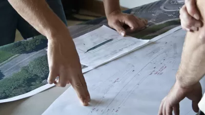
The idea of putting roads on diets—essentially shrinking the width of driving lanes to slow vehicles down—is a common topic in the recent discourse of how we reduce traffic fatalities down to zero. Multiple cities around the world have instituted such policies by shrinking lanes for vehicular traffic and adding bicycle and pedestrian improvements.
Cathy Tuttle, writing in The Urbanist, argues that while reducing the width of lanes on urban streets is a key component in slowing traffic to make streets safer for all users, the same may not hold true for highways and other designated truck and transit routes. Citing the fatal crash of a Duck Boat on Seattle’s Aurora Bridge in September, Tuttle notes that the bridge stands out as an example of where narrower is not necessarily better for promoting safety.
“… Federal standards for highways recommend 12-foot lanes, in addition to shoulders wide enough for emergency parking and median barriers. Most lanes along I-5 are 12 feet wide. The Aurora Bridge lanes are 9.5 feet wide…
Lanes on highways need to be wide to accommodate wide vehicles moving quickly. Traffic on the Aurora Bridge is posted 40 MPH, while people driving average more than 10 miles an hour faster (p.19 here [PDF]). The Aurora Bridge has had 144 crashes since 2005.”
Read the full story: Let's Talk About Lane Width


Seattle Recorded Zero Bike Deaths in 2024, per Early Data
The city halved the number of pedestrian deaths compared to 2021.
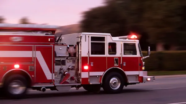
Study: Bike Lanes, Traffic Calming Don’t Impact First Responders
Despite common concerns that narrower traffic lanes and bike infrastructure can slow emergency response, response times in one study didn’t change.
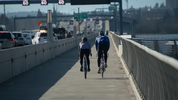
Seattle Road Safety Advocates Say Transportation Levy Perpetuates Car-Centric Status Quo
Critics of a proposed $1.3 billion transportation levy say the package isn’t enough to keep up with inflation and rising costs and fails to support a shift away from car-oriented infrastructure.

Planetizen Federal Action Tracker
A weekly monitor of how Trump’s orders and actions are impacting planners and planning in America.

Amtrak, CN end decades-long dispute with eight-year agreement
The new operating agreement establishes an updated framework for the companies to work together, including processes to resolve disputes.

Judges permit Denver to divert 77,000 acre feet from the Colorado River for reservoir expansion
Overuse and climate change have caused the Colorado River’s water levels to plummet.
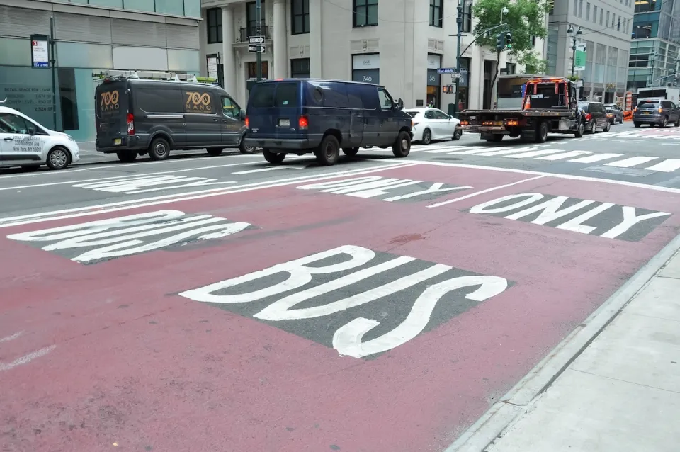
NYC DOT wants faster, more permanent street upgrades
The city is examining ways to build more concrete infrastructure without getting entangled in 'decades-long' projects.

'Something we’ve never seen before:' rising utility rates could strain city finances nationwide
Data centers, climate change and other factors have caused utility rates in the United States to increase by 38% since 2020.

Trump to overrule local leaders, lease millions of acres of America’s Pacific Island territories’ seafloors to mining companies
International law says that the Indigenous people of America’s territories have a right to prior and informed consent regarding projects that impact their countries.

FREE Course: Walkable City 1: Why Walkability?
After describing his path towards focusing on walkability as the essence of good planning, Jeff Speck marches through his five principal reasons for making more walkable places.
Reinventing Malls: Planning Alchemy—Turning Gray Fields Into Gold
The course focuses on the opportunities and imperatives that shape reinvention of mall sites.

Harvard University Graduate School of Design
KFH Group Inc.
Greater Baltimore Committee
The Architects Foundation
University of Cincinnati Online
The Pocatello Development Authority
The Urban Renewal Agency of the City of Pocatello