


Culminating an effort launched in 2007 by the Bloomberg Administration, the public will now be able to walk between the Bronx and Manhattan on the High Bridge.
Ben Fried reports: "Following a much-anticipated restoration that got a huge boost from the Bloomberg administration in 2007, the High Bridge is open to the public today for the first time in 45 years, providing a walking and biking connection between Washington Heights and the Highbridge neighborhood in the Bronx." The celebratory posts includes photos of the bridge as users returned for the first time.
In an earlier post, which also features the Streetfilm from 2009 found below, Fried provides a bit more history on the High Bridge, which stopped carrying water in 1958 and closed to the public in 1970.
FULL STORY: The High Bridge Is Open and People Are Walking On It! Here’s Proof…


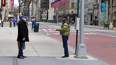
NYC Officials Split on Jaywalking Decriminalization
While some council members say the ‘outdated’ practice disproportionately impacts Black and Latino residents, law enforcement officials say its a necessary measure for road safety.

Crosswalks Near NYC Schools More Dangerous Than Average
A child and a crossing guard were killed in school crosswalks within one week as the NYPD cuts crossing guard jobs.
New Density Control Measure to Close Some New York Streets to Cars
To encourage recreational walking while practicing social distancing in order to reduce the spread of COVID-19, Gov. Andrew Cuomo asked the New York City mayor and city council speaker to devise a pilot project to provide for open streets.

Maui's Vacation Rental Debate Turns Ugly
Verbal attacks, misinformation campaigns and fistfights plague a high-stakes debate to convert thousands of vacation rentals into long-term housing.

Planetizen Federal Action Tracker
A weekly monitor of how Trump’s orders and actions are impacting planners and planning in America.

In Urban Planning, AI Prompting Could be the New Design Thinking
Creativity has long been key to great urban design. What if we see AI as our new creative partner?

King County Supportive Housing Program Offers Hope for Unhoused Residents
The county is taking a ‘Housing First’ approach that prioritizes getting people into housing, then offering wraparound supportive services.

Researchers Use AI to Get Clearer Picture of US Housing
Analysts are using artificial intelligence to supercharge their research by allowing them to comb through data faster. Though these AI tools can be error prone, they save time and housing researchers are optimistic about the future.

Making Shared Micromobility More Inclusive
Cities and shared mobility system operators can do more to include people with disabilities in planning and operations, per a new report.
Urban Design for Planners 1: Software Tools
This six-course series explores essential urban design concepts using open source software and equips planners with the tools they need to participate fully in the urban design process.
Planning for Universal Design
Learn the tools for implementing Universal Design in planning regulations.
planning NEXT
Appalachian Highlands Housing Partners
Mpact (founded as Rail~Volution)
City of Camden Redevelopment Agency
City of Astoria
City of Portland
City of Laramie