


New research provides sorely needed tools for illustrating the neighborhoods that suffer a lack of transportation options to access jobs and opportunity.
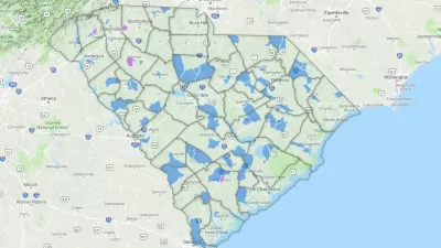
"Two Dutch researchers have developed a new way to identify where the residents are most at risk of transport poverty," according to an article by Cassie Ownes.
"Using their new index, [Karel] Martens and [Jeroen] Bastiaanssen first determine the 'average regional accessibility level.' Their formula assesses trips within zones against the number of jobs and poor households per census tract. Next, they reduce this regional average into fractions, like 20 percent or 30 percent of average access, to see where the transport poor might be."
Martens and Bastiaanssen produced original transit poverty maps to illustrate their work—exclusively for Next City—of Philadelphia, San Francisco, Seattle, and Houston.
FULL STORY: New Maps Size Up Transportation Poverty Risks in 4 Cities

District By District, Maps Trace Neighborhood Opportunity Across the U.S.
Down to the level of individual census tracts, a team of researchers has developed national maps showing where upward mobility is probable, and where it isn't.
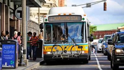
How Transportation Assistance Can Fight Homelessness
Transportation access is one of the biggest factors in keeping people out of homelessness. Cities can help with discounted fares and last-mile connections.

Poverty in the United States Explained
The Brookings Institution has provided a data-driven examination of the subject of poverty in the United States, to provide the kind of policy nuance and detail missing from the 2016 presidential campaign.

Maui's Vacation Rental Debate Turns Ugly
Verbal attacks, misinformation campaigns and fistfights plague a high-stakes debate to convert thousands of vacation rentals into long-term housing.

Planetizen Federal Action Tracker
A weekly monitor of how Trump’s orders and actions are impacting planners and planning in America.

In Urban Planning, AI Prompting Could be the New Design Thinking
Creativity has long been key to great urban design. What if we see AI as our new creative partner?

King County Supportive Housing Program Offers Hope for Unhoused Residents
The county is taking a ‘Housing First’ approach that prioritizes getting people into housing, then offering wraparound supportive services.

Researchers Use AI to Get Clearer Picture of US Housing
Analysts are using artificial intelligence to supercharge their research by allowing them to comb through data faster. Though these AI tools can be error prone, they save time and housing researchers are optimistic about the future.

Making Shared Micromobility More Inclusive
Cities and shared mobility system operators can do more to include people with disabilities in planning and operations, per a new report.
Urban Design for Planners 1: Software Tools
This six-course series explores essential urban design concepts using open source software and equips planners with the tools they need to participate fully in the urban design process.
Planning for Universal Design
Learn the tools for implementing Universal Design in planning regulations.
planning NEXT
Appalachian Highlands Housing Partners
Mpact (founded as Rail~Volution)
City of Camden Redevelopment Agency
City of Astoria
City of Portland
City of Laramie