


File under tools for the tool kit: Jarrett Walker of Human Transit shares details about Nearmap, an aerial photography tool that serves as a helpful alternative to Google Earth.
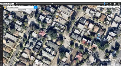
According to Jarrett Walker, "when it comes down to questions of rights-and-lefts, at the lowest level of planning altitude, one source of information is critical: aerial photography."
To aid planners of all stripes in the acquisition of useful aerial photography, Walker shares news of resource called Nearmap, which he describes as "an alternative to Google Earth that has grown more and more impressive. Initially confined to Australia and New Zealand (I used it all the time when I lived there) it now includes all large US cities. The site's best feature is the very recent, high-resolution imagery it offers, but it also has nice image capture and layer overlay tools, all in-browser."
FULL STORY: nearmap brings its high-resolution satellite imagery to the US

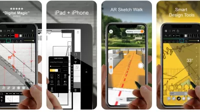
Best Apps for Urban Planning in 2022
Mobile apps continue to redefine the practices of planning—urban planning, regional planning, transportation planning, community planning, and rural planning included.
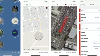
Top Planning Apps for 2019
Insights into the mobile app technology used in the practice and study of planning.
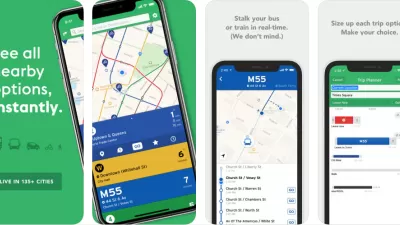
The Best Planning Apps
Planetizen is pleased to present the best of the latest crop of mobile apps by planners and for planners.

Maui's Vacation Rental Debate Turns Ugly
Verbal attacks, misinformation campaigns and fistfights plague a high-stakes debate to convert thousands of vacation rentals into long-term housing.

Planetizen Federal Action Tracker
A weekly monitor of how Trump’s orders and actions are impacting planners and planning in America.

Chicago’s Ghost Rails
Just beneath the surface of the modern city lie the remnants of its expansive early 20th-century streetcar system.

Bend, Oregon Zoning Reforms Prioritize Small-Scale Housing
The city altered its zoning code to allow multi-family housing and eliminated parking mandates citywide.

Amtrak Cutting Jobs, Funding to High-Speed Rail
The agency plans to cut 10 percent of its workforce and has confirmed it will not fund new high-speed rail projects.

LA Denies Basic Services to Unhoused Residents
The city has repeatedly failed to respond to requests for trash pickup at encampment sites, and eliminated a program that provided mobile showers and toilets.
Urban Design for Planners 1: Software Tools
This six-course series explores essential urban design concepts using open source software and equips planners with the tools they need to participate fully in the urban design process.
Planning for Universal Design
Learn the tools for implementing Universal Design in planning regulations.
planning NEXT
Appalachian Highlands Housing Partners
Mpact (founded as Rail~Volution)
City of Camden Redevelopment Agency
City of Astoria
City of Portland
City of Laramie