


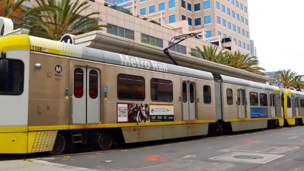
The Los Angeles County Metropolitan Transportation Authority voted to move forward with a station near LAX, proving they'd made more progress in the last 12 months than in the previous 25 years to bring transit rail to the airport.
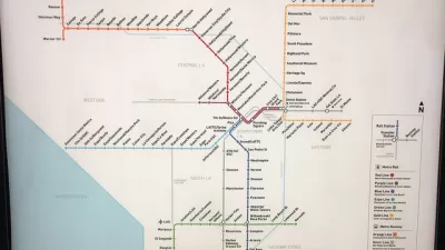
"In a unanimous vote, the county's Metropolitan Transportation Authority board of directors agreed to proceed with further study of a proposed $200-million light-rail station a mile and a half east of LAX's central terminal area. The station would connect Metro's Crenshaw Line, now being built, to a proposed aerial, monorail-like system that will carry passengers to their terminals," reports Laura Nelson.
"The added station, at 96th Street and Aviation Boulevard, would be less than a half-mile north of another planned Crenshaw Line stop at Century and Aviation boulevards. Officials say the new station will serve as a link to a people-mover system expected to connect a consolidated car-rental facility, a planned ground transportation hub and the LAX terminal area."
The 96th Street station will need to go through design and environmental review, as well as resolving cost issues, before construction can begin, but the added station is not expected to delay the 2019 opening of the Crenshaw Line.
FULL STORY: Metro approves new train station to connect rail to LAX

Coming to Los Angeles in 2047: The Busiest Light Rail Route in the U.S.
An extended Crenshaw Line would cut north-south through the middle of the Los Angeles basin, connecting three rail transit lines and some of the busiest buses in the county. Some don't want to wait 30 years for the plan to come to fruition.
The World’s Longest Light Rail Line is in… Los Angeles?
In a city not known for its public transit, the 48.5-mile A Line is the longest of its kind on the planet.
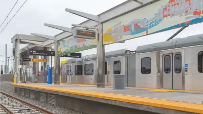
K Line to South L.A. To Open October 7
The line, part of L.A.'s effort to expand its public transit system ahead of the 2028 Summer Olympics, was originally scheduled to open in 2019.

Maui's Vacation Rental Debate Turns Ugly
Verbal attacks, misinformation campaigns and fistfights plague a high-stakes debate to convert thousands of vacation rentals into long-term housing.

Planetizen Federal Action Tracker
A weekly monitor of how Trump’s orders and actions are impacting planners and planning in America.

In Urban Planning, AI Prompting Could be the New Design Thinking
Creativity has long been key to great urban design. What if we see AI as our new creative partner?

King County Supportive Housing Program Offers Hope for Unhoused Residents
The county is taking a ‘Housing First’ approach that prioritizes getting people into housing, then offering wraparound supportive services.

Researchers Use AI to Get Clearer Picture of US Housing
Analysts are using artificial intelligence to supercharge their research by allowing them to comb through data faster. Though these AI tools can be error prone, they save time and housing researchers are optimistic about the future.

Making Shared Micromobility More Inclusive
Cities and shared mobility system operators can do more to include people with disabilities in planning and operations, per a new report.
Urban Design for Planners 1: Software Tools
This six-course series explores essential urban design concepts using open source software and equips planners with the tools they need to participate fully in the urban design process.
Planning for Universal Design
Learn the tools for implementing Universal Design in planning regulations.
planning NEXT
Appalachian Highlands Housing Partners
Mpact (founded as Rail~Volution)
City of Camden Redevelopment Agency
City of Astoria
City of Portland
City of Laramie