


The TransitScreen service has been around since 2012, but it’s latest product, real-time displays of all modes of transportation, can display in the public realm, providing a whole new level of interaction with the city.
For the uninitiated, “[TransitScreen] company’s digital signage aggregates real-time information for any mode of public transit in a city--subways, commuter trains, buses, bike share, ride shares--and displays this info in university buildings, the lobbies of apartment buildings and offices, and more,” according to the description of Fast Company Design writer Shaunacy Ferro.
Ferro’s recent article, however, explains TransitScreen’s latest product, SmartWalk. SmartWalk is a customizable, real-time information display that activates the public realm in more ways than one by displaying onto surfaces in the public realm,
The technology works similarly to RideScout, but has the unique benefit of being customizable to a specific location. For an example of how SmartWalk works, Ferro describes a display situated between the University of California, Berkeley campus and the downtown BART station, which will see an estimated three million people walk by a year. “It tells you exactly how many bikes are available at the nearby bike station, how many minutes it will take for a ridesharing service to pick you up, and, at some universities, when the nearest campus shuttle will arrive. The company is attempting to bring Uber and Lyft data into the fold as well.”
FULL STORY: SmartWalk Turns Any Surface Into A Subway Tracker

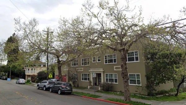
Berkeley Approves ‘Middle Housing’ Ordinance
The city that invented single-family zoning is finally reckoning with its history of exclusion.

Berkeley Launches ADU Amnesty Program
Owners of unpermitted accessory dwelling units can bring their units up to code and obtain certificates of compliance without facing penalties.

Birthplace of Single-Family Zoning Poised to Pass Upzoning Plan
Berkeley, California, pioneered exclusionary zoning in the early 1900s; with its new upzoning proposal, the city hopes to reverse that negative legacy and boost its housing supply by eliminating single-family zoning.

Planetizen Federal Action Tracker
A weekly monitor of how Trump’s orders and actions are impacting planners and planning in America.

Maui's Vacation Rental Debate Turns Ugly
Verbal attacks, misinformation campaigns and fistfights plague a high-stakes debate to convert thousands of vacation rentals into long-term housing.

San Francisco Suspends Traffic Calming Amidst Record Deaths
Citing “a challenging fiscal landscape,” the city will cease the program on the heels of 42 traffic deaths, including 24 pedestrians.

Defunct Pittsburgh Power Plant to Become Residential Tower
A decommissioned steam heat plant will be redeveloped into almost 100 affordable housing units.

Trump Prompts Restructuring of Transportation Research Board in “Unprecedented Overreach”
The TRB has eliminated more than half of its committees including those focused on climate, equity, and cities.

Amtrak Rolls Out New Orleans to Alabama “Mardi Gras” Train
The new service will operate morning and evening departures between Mobile and New Orleans.
Urban Design for Planners 1: Software Tools
This six-course series explores essential urban design concepts using open source software and equips planners with the tools they need to participate fully in the urban design process.
Planning for Universal Design
Learn the tools for implementing Universal Design in planning regulations.
Heyer Gruel & Associates PA
JM Goldson LLC
Custer County Colorado
City of Camden Redevelopment Agency
City of Astoria
Transportation Research & Education Center (TREC) at Portland State University
Jefferson Parish Government
Camden Redevelopment Agency
City of Claremont