Through diligence and innovation, New York has been able to make the city's streets the safest of any big city in America. This month, it published a guide to help livable streets supporters anywhere replicate its success.


"Earlier this month, NYC DOT put out a major new report, Making Safer Streets [PDF], that collects before-and-after data from dozens of street redesigns and distills five key principles to reduce traffic injuries," reports Ben Fried. "It’s an accessible guide to how DOT approaches the task of re-engineering streets for greater safety."
"The DOT team hopes the report will serve as a reference not only for planners and engineers, but for any city resident who cares about street safety and wants to evaluate how streets are functioning and what would make them better," he adds. "It’s written in accessible language and comes in at under 30 pages, with a raft of graphics and photos doing much of the communication."
NYC DOT has organized its recommendations around five key principles:
- Make the street easy to use
- Create safety in numbers
- Make the invisible visible
- Choose quality over quantity
- Look beyond the (immediate) problem
Read the full story: NYC DOT Shares Its Five Principles for Designing Safer Streets

Let’s End Traffic Stops
The technology to make traffic enforcement obsolete is becoming available. But in the U.S. willing to use it?
NYC Launches Major Traffic Safety Campaign
The new initiative from the city's Department of Transportation and Police Department will target speeding and failure-to-yield violations, including rogue cyclists.
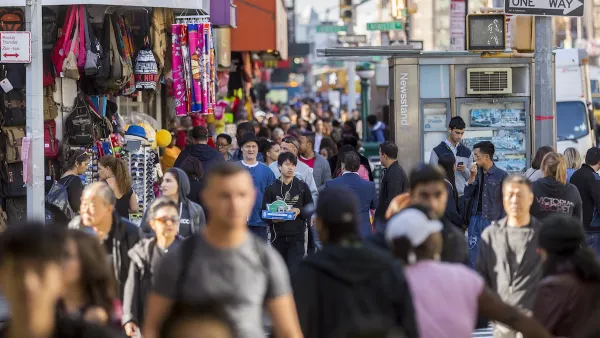
NYC renovations for dangerous, ‘mercilessly crammed’ street delayed until 2027
Construction was supposed to begin this fall.

Planetizen Federal Action Tracker
A weekly monitor of how Trump’s orders and actions are impacting planners and planning in America.

Eastern Nebraska is running out of electricity
Data centers and electrification are straining eastern Nebraska’s grid, throttling economic development.
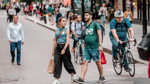
Study reveals best places in the U.S. for cycling, walking
New research from Streetlight Data examines bicycle and pedestrian miles per capita in the 100 largest U.S. cities by population.

San Antonio is using environmental review to stall ICE detention center
San Antonio sued last month to pause work on the new detention center until the federal government studied its effect on the surrounding area.

Austin plans light rail extension — before breaking ground on light rail
The planned extension is three miles long and will take riders straight to Austin-Bergstrom International Airport.

Chicago cuts ribbon on $300,000, self-cleaning public toilet
The public toilet is the city’s first, and may pave the way for a rollout of similar facilities.

FREE Course: Walkable City 1: Why Walkability?
After describing his path towards focusing on walkability as the essence of good planning, Jeff Speck marches through his five principal reasons for making more walkable places.
Reinventing Malls: Planning Alchemy—Turning Gray Fields Into Gold
The course focuses on the opportunities and imperatives that shape reinvention of mall sites.

City of Charlotte
City of Rosemead
Rutgers University, Edward J. Bloustein School of Planning and Public Policy
University of Michigan School for Environment and Sustainability (SEAS)
Hunter College, City University of New York (CUNY)
The Architects Foundation
City of Cambridge
The Pocatello Development Authority
The Urban Renewal Agency of the City of Pocatello