


Street Plans Collaborative, a New York-based urban planning and design firm, has begun an ambitious project to map the city's informal sidewalk seating culture. The project is asking the pubic to submit entries from their own observations.
Street Seats is the brainchild of Mike Lydon, a principal at Street Plans, who was inspired to document the DIY sidewalk seating culture that provides "one of the great joys, if not necessities of urban living."
As Sarah Goodyear explains, the project "pays tribute to the importance of such humble streetside accommodation by crowdsourcing and mapping places to sit around the city – the countless benches, chairs, and stools that are just part of the culture here."
"The Street Seats site is designed both to document this phenomenon and to serve as inspiration to other places," adds Goodyear. "Lydon says he is always moved when he sees the effort and expense put forward by small businesses and individuals to give passers-by a place to sit and enjoy the world going by. 'You see it everywhere,' he says. 'It’s like a gift to the street.'”
FULL STORY: An Ode to New York's Glorious DIY Sidewalk Seating Culture

Public Toilets Continue to Foil New York City’s Bureaucracy
In 2006, New York City signed contracts for private-public partnerships that would deliver a variety of street furniture throughout the city. To date, 3,355 bus shelters, 304 newsstands, and three (3) public toilets have been built.
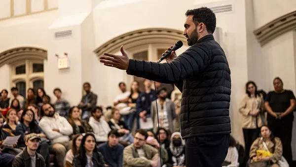
NYC: What Mamdani’s Rivals Can Teach Him About Transportation
The mayoral candidate won on a bold, progressive platform. Some of his opponents had even bolder ideas.

Hundreds of New Yorkers Hospitalized Due to Extreme Heat
A brutal heat wave is causing hospitalizations for heat-related illnesses, an increasingly common threat as summers get warmer.

Planetizen Federal Action Tracker
A weekly monitor of how Trump’s orders and actions are impacting planners and planning in America.

Restaurant Patios Were a Pandemic Win — Why Were They so Hard to Keep?
Social distancing requirements and changes in travel patterns prompted cities to pilot new uses for street and sidewalk space. Then it got complicated.

Map: Where Senate Republicans Want to Sell Your Public Lands
For public land advocates, the Senate Republicans’ proposal to sell millions of acres of public land in the West is “the biggest fight of their careers.”

Orange County, Florida Adopts Largest US “Sprawl Repair” Code
The ‘Orange Code’ seeks to rectify decades of sprawl-inducing, car-oriented development.

Maui's Vacation Rental Debate Turns Ugly
Verbal attacks, misinformation campaigns and fistfights plague a high-stakes debate to convert thousands of vacation rentals into long-term housing.

San Francisco Suspends Traffic Calming Amidst Record Deaths
Citing “a challenging fiscal landscape,” the city will cease the program on the heels of 42 traffic deaths, including 24 pedestrians.
Urban Design for Planners 1: Software Tools
This six-course series explores essential urban design concepts using open source software and equips planners with the tools they need to participate fully in the urban design process.
Planning for Universal Design
Learn the tools for implementing Universal Design in planning regulations.
Heyer Gruel & Associates PA
JM Goldson LLC
Custer County Colorado
City of Camden Redevelopment Agency
City of Astoria
Transportation Research & Education Center (TREC) at Portland State University
Camden Redevelopment Agency
City of Claremont
Municipality of Princeton (NJ)