Despite the best efforts of President Obama, the dream of a countrywide high-speed rail network is still just that. Can a speculative, and tantalizing, map change the debate on high-speed rail in the United States?


Alfred Twu describes his motivation for creating the compelling US High Speed Rail Map, which depicts the nodes and travel times for a countrywide high-speed rail network based on several proposed maps from 2009, "when government agencies and advocacy groups were talking big about rebuilding America's train system."
"Having worked on getting California's high speed rail approved in the 2008 elections, I've long sung the economic and environmental benefits of fast trains," explains Twu. "This latest map comes more from the heart. It speaks more to bridging regional and urban-rural divides than about reducing airport congestion or even creating jobs, although it would likely do that as well."
"More than mere steel wheels on tracks, high speed rail shrinks space and brings farflung families back together. It keeps couples in touch when distant career or educational opportunities beckon. It calls to adventure and travel. It is duct tape and string to reconnect politically divided regions. Its colorful threads weave new American Dreams."
Read the full story: A US high speed rail network shouldn't just be a dream

California High-Speed Rail Authority picks trainset manufacturer
The California High-Speed Rail Authority aims to start servicing passengers by 2033.
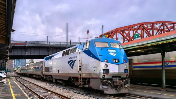
Transit leaders progress high-speed rail from Portland to Vancouver, B.C.
Washington state officials may reveal feasible routes for the high-speed rail in late 2027.

California high-speed rail accomplishes only one legislative goal in 2026
The majority of the agency's failed pitches were never developed into written proposals.

Planetizen Federal Action Tracker
A weekly monitor of how Trump’s orders and actions are impacting planners and planning in America.

Eastern Nebraska is running out of electricity
Data centers and electrification are straining eastern Nebraska’s grid, throttling economic development.

Study reveals best places in the U.S. for cycling, walking
New research from Streetlight Data examines bicycle and pedestrian miles per capita in the 100 largest U.S. cities by population.

All sides of BRT debate unhappy with CDOT’s most recent move
The Colorado Department of Transportation is no longer considering center-running bus lanes for Colorado Boulevard.

Massachusetts bogs generate both power, and cranberries
Putting solar panels above farmland is one way Massachusetts is advancing toward its goal of net-zero carbon emissions by 2050.

What could the future of LA transit look like under Raman?
The mayor-elect views broken sidewalks and potholes as crises that can be fixed with better governance.

FREE Course: Walkable City 1: Why Walkability?
After describing his path towards focusing on walkability as the essence of good planning, Jeff Speck marches through his five principal reasons for making more walkable places.
Reinventing Malls: Planning Alchemy—Turning Gray Fields Into Gold
The course focuses on the opportunities and imperatives that shape reinvention of mall sites.

City of Rosemead
Rutgers University, Edward J. Bloustein School of Planning and Public Policy
One Hundred Miles
University of Michigan School for Environment and Sustainability (SEAS)
Hunter College, City University of New York (CUNY)
The Architects Foundation
City of Cambridge
The Pocatello Development Authority
The Urban Renewal Agency of the City of Pocatello