Google announces the addition of D.C.'s Metro and bus routes to their online and mobile maps, including connections to other commuter transit systems.


From the Washington Metropolitan Area Transit Authority's press release:
"Google's promotion of public transit increases awareness of alternatives to driving and gives our riders access to other useful information such as aerial imagery, business listings, user reviews and street views," said Metro General Manager and Chief Executive Officer Richard Sarles.
"In addition to making our transit data available on Google Maps, Metro is committed to making its transit data available so customers get the benefit of the best app tools that are developed for public use," Sarles said.
In August 2010, Metro offered its transit data to the general public for use in developing third-party applications for the Internet and mobile devices. Metro has been a leader in the transit industry in making public real-time data sets. Metro's transit data is available for download from Metro's web site."
Here is a list of the transit systems that Google Transit has linked to so far.
Thanks to Jeffrey Riecke
Read the full story: Metro riders can plan Metrobus, Metrorail trips on Google

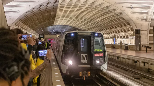
Congressman Proposes Bill to Rename DC Metro “Trump Train”
The Make Autorail Great Again Act would withhold federal funding to the system until the Washington Metropolitan Area Transit Authority (WMATA), rebrands as the Washington Metropolitan Authority for Greater Access (WMAGA).
Mobile App Makes DC Transit Easy to Navigate for Visually Impaired Riders
The app gives step-by-step directions and audio and visual cues accessible from anywhere for thousands of bus stops and rail stations.

DC Metro Targets Bus Fare Evasion
The WMATA says roughly 70 percent of riders do not pay fares.

Planetizen Federal Action Tracker
A weekly monitor of how Trump’s orders and actions are impacting planners and planning in America.

Amtrak, CN end decades-long dispute with eight-year agreement
The new operating agreement establishes an updated framework for the companies to work together, including processes to resolve disputes.
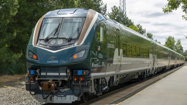
Northwest rail fans eager for Sept. 30 debut of Amtrak’s Airo fleet
Get ready for that new train smell and more seats. But they won’t go faster or run more frequently on the Cascades route in Washington and Oregon.

NYC to turn city-owned property into thousands of homes
The city has scheduled a public hearing regarding the development for October.

Buses travel at 5mph along this route in NYC. The Bronx's first-ever busway looks to change that
Prior to the busway, buses on the Bx36 route traveled as slowly as 5 miles per hour.

Pittsburg launches 'EZ permits,' aims for one-day turnaround for low-risk permits
The pilot ‘fast lane’ for permits is part of a bundle of modernization efforts for Pittsburg’s permitting process.

FREE Course: Walkable City 1: Why Walkability?
After describing his path towards focusing on walkability as the essence of good planning, Jeff Speck marches through his five principal reasons for making more walkable places.
Reinventing Malls: Planning Alchemy—Turning Gray Fields Into Gold
The course focuses on the opportunities and imperatives that shape reinvention of mall sites.

City of Thousand Oaks
City of Wisconsin Rapids
Harvard University Graduate School of Design
The Architects Foundation
University of Cincinnati Online
The Pocatello Development Authority
The Urban Renewal Agency of the City of Pocatello