


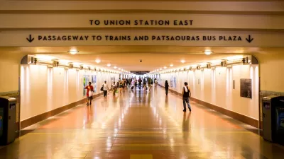
Data from mobile app Waze is used to create a visualization of the throbbing, insistent pulsing of Los Angeles traffic.
The app, made for mobile devices, takes measurements of users' driving activity to generate maps and analyze average speed.
As GOOD points out, it appears that San Fernando Valley drivers all sleep in and work a slightly later shift than Orange County folks.
FULL STORY: Infographic Video: Watch the Worst Traffic in the Country

Can LA Achieve a ‘No-Car’ Olympics?
The city’s mayor promises all Olympic venues will be reachable by transit, but the city’s ability to finish its transit projects on time is coming into question.

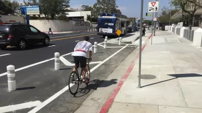
Congestion Pricing Could Be Coming to L.A.
The infamously car-centric city is weighing a proposed congestion pricing pilot program to reduce traffic and encourage public transit use.
Opinion: Los Angeles Must Prioritize Bikes and Buses
L.A. has a plan for improving mobility. Why are city leaders ignoring it?

Planetizen Federal Action Tracker
A weekly monitor of how Trump’s orders and actions are impacting planners and planning in America.

Maui's Vacation Rental Debate Turns Ugly
Verbal attacks, misinformation campaigns and fistfights plague a high-stakes debate to convert thousands of vacation rentals into long-term housing.

San Francisco Suspends Traffic Calming Amidst Record Deaths
Citing “a challenging fiscal landscape,” the city will cease the program on the heels of 42 traffic deaths, including 24 pedestrians.

Amtrak Rolls Out New Orleans to Alabama “Mardi Gras” Train
The new service will operate morning and evening departures between Mobile and New Orleans.

The Subversive Car-Free Guide to Trump's Great American Road Trip
Car-free ways to access Chicagoland’s best tourist attractions.

San Antonio and Austin are Fusing Into one Massive Megaregion
The region spanning the two central Texas cities is growing fast, posing challenges for local infrastructure and water supplies.
Urban Design for Planners 1: Software Tools
This six-course series explores essential urban design concepts using open source software and equips planners with the tools they need to participate fully in the urban design process.
Planning for Universal Design
Learn the tools for implementing Universal Design in planning regulations.
Heyer Gruel & Associates PA
JM Goldson LLC
Custer County Colorado
City of Camden Redevelopment Agency
City of Astoria
Transportation Research & Education Center (TREC) at Portland State University
Jefferson Parish Government
Camden Redevelopment Agency
City of Claremont