This collection of photographs from Smithsonian documents the construction of the recently opened bypass bridge at the Hoover Dam.


The new bridge was photographed by Jamey Stillings over the course of many months, showing various points of its construction.
"[T]he bridge is a worthy complement: it carries a four-lane highway almost 900 feet above the river, and it rests on the longest concrete arch in the United States, 1,060 feet. It was built to circumvent the dam-crossing stretch of U.S. Route 93, which was a narrow, tortuous and accident-prone kink in the designated NAFTA highway corridor between Mexico and Canada. Tourists can still drive across the dam, but others will be routed over what has been named the Mike O'Callaghan-Pat Tillman Memorial Bridge, commemorating, respectively, a popular 1970s Nevada governor and the former Arizona Cardinals football player killed by friendly fire in Afghanistan in 2004 while serving in the U.S. Army."
Read the full story: A Breathtaking New Bridge

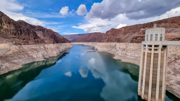
Why a Colorado River water conservation agreement is so hard to reach
As the nation's two largest reservoirs hit their lowest levels on record, what would it take to avert the crisis? An expert weighs in.
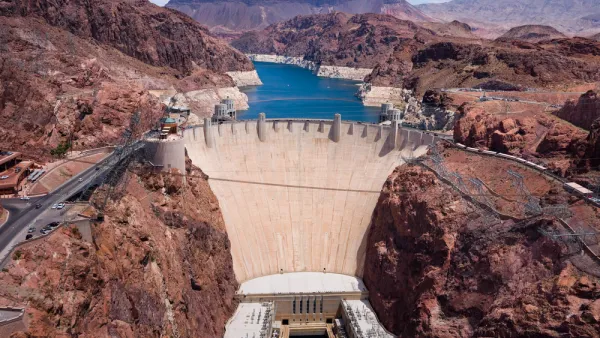
A Plan to Transform the Hoover Dam into Energy Storage
A proposal by the nation's largest utility could be a model to deal with the most formidable problem presented by intermittent renewable electricity sources.
Exposing America's Water Crisis
Cynthia Barnett says Americans live under an "illusion of water abundance" and calls for government water managers and private water companies to "stem the drain on America's water resources before it's too late."

Planetizen Federal Action Tracker
A weekly monitor of how Trump’s orders and actions are impacting planners and planning in America.

California plans to bury El Niño’s downpour
If the state plays its cards right, it may be able to store a billion acre-feet of El Niño’s water in aquifers.

Chicago breaks ground on $3 billion megadevelopment
The new neighborhood, titled Foundry Park, will one day host 3,700 residences.

Want to study the Missouri River? Soon, you may need unanimous approval from 10 states
Legislation would require 10 governors’ permission to study or build projects moving water outside the basin.

Desperate measures: Advocates weigh draining Lake Powell to fill Colorado River
Draining the reservoir could reduce evaporation losses by a couple hundred thousand acre-feet.

This road in NYC is infamously dangerous — and Mamdani can't fix it
New York City's Ocean Parkway is known for reckless driving, but the power to implement safety measures lies with the state rather than the city.

FREE Course: Walkable City 1: Why Walkability?
After describing his path towards focusing on walkability as the essence of good planning, Jeff Speck marches through his five principal reasons for making more walkable places.
Reinventing Malls: Planning Alchemy—Turning Gray Fields Into Gold
The course focuses on the opportunities and imperatives that shape reinvention of mall sites.

City of Rosemead
Rutgers University, Edward J. Bloustein School of Planning and Public Policy
One Hundred Miles
Hunter College, City University of New York (CUNY)
The Architects Foundation
University of Cincinnati Online
City of Cambridge
Montrose County
The Pocatello Development Authority