


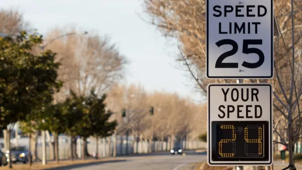
Grist digs deeper into the Virginia Speed Hump murder - showing how the street configuration of the suburban neighborhood may have contributed to the rage, and why it's unlikely to see more neighborhoods like it in the future.
See Planetizen: Virginia Speed Bump Leads to Neighborhood Activist's Murder.
Was the homicide an extension of road-rage caused by the installation of the speed hump? Grist transportation reporter Sarah Goodyear notes that if the neighborhood was constructed in more of a grid layout, there would not have been a need for the traffic calming sought by the victim.
"A Google map view of Field Master Drive, where Carr (the victim) lived, shows a typical suburban pattern of cul-de-sacs and quiet residential streets, with a couple of major roads slicing through. Field Master Drive looks like a main route between two of those larger arterials...
It's a development style that has been shown to increase congestion on the main roads and speeding on the few side streets that provide some connection, rather than leading to a dead end. Streets like Field Master Drive.
Just last year, the state of Virginia announced it would not maintain streets in new subdivisions unless they were laid out with a design that links homes, stores, schools, and other destinations. The aim is to encourage a different style of development, one that would have fewer traffic jams, better access for emergency vehicles, and more walkable neighborhoods."
Thanks to Daily Grist
FULL STORY: Virginia man is murdered after dispute over traffic calming


Maryland Plans Quick-Build Complete Streets Projects
The state will use low-cost interventions to improve road safety in five Maryland counties.
Philadelphia Launches ‘Speed Slots’ Traffic Calming Pilot
The project focuses on a 1.4-mile stretch of Lincoln Drive where cars frequently drive above the posted speed limit.
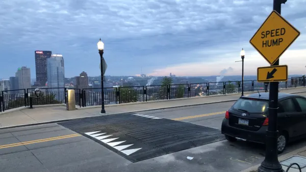
Pittsburgh Excels at Low-Cost, Quick-Build Traffic Calming
The city’s traffic calming initiative has led to a 6 percent average reduction in speeds on corridors with recent interventions.

Planetizen Federal Action Tracker
A weekly monitor of how Trump’s orders and actions are impacting planners and planning in America.

Restaurant Patios Were a Pandemic Win — Why Were They so Hard to Keep?
Social distancing requirements and changes in travel patterns prompted cities to pilot new uses for street and sidewalk space. Then it got complicated.

Map: Where Senate Republicans Want to Sell Your Public Lands
For public land advocates, the Senate Republicans’ proposal to sell millions of acres of public land in the West is “the biggest fight of their careers.”

Maui's Vacation Rental Debate Turns Ugly
Verbal attacks, misinformation campaigns and fistfights plague a high-stakes debate to convert thousands of vacation rentals into long-term housing.

San Francisco Suspends Traffic Calming Amidst Record Deaths
Citing “a challenging fiscal landscape,” the city will cease the program on the heels of 42 traffic deaths, including 24 pedestrians.

California Homeless Arrests, Citations Spike After Ruling
An investigation reveals that anti-homeless actions increased up to 500% after Grants Pass v. Johnson — even in cities claiming no policy change.
Urban Design for Planners 1: Software Tools
This six-course series explores essential urban design concepts using open source software and equips planners with the tools they need to participate fully in the urban design process.
Planning for Universal Design
Learn the tools for implementing Universal Design in planning regulations.
Heyer Gruel & Associates PA
JM Goldson LLC
Custer County Colorado
City of Camden Redevelopment Agency
City of Astoria
Transportation Research & Education Center (TREC) at Portland State University
Camden Redevelopment Agency
City of Claremont
Municipality of Princeton (NJ)