


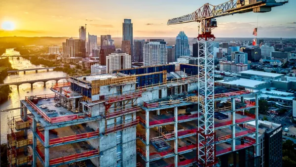
A new report from the Furman Center finds that the effect of the 100+ rezonings under the Bloomberg administration is minimal, with upzonings and downzonings almost canceling each other out.
The report looks at residential capacity in particular, and find that in many of the rezonings did not significantly change the buildable capacity of the area.
From the Furmen Center's press release: "Given the scale of rezoning activity during this time, it is critical to take a step back and ask: 'what is the net impact on the City's capacity to accommodate new growth?'" said Vicki Been, faculty director of the Furman Center. "While we find that on paper, the upzonings have added more capacity than the downzonings have taken away, we also find reason to doubt that all of this new capacity will be built out for residential use, and it remains unclear whether we are on track for creating enough new residential capacity to accommodate the one million new New Yorkers that are expected to live in the City by 2030."
The planning department responds in the NYT: "Amanda M. Burden, the city's planning director since 2002, said the city's approach to zoning was based on a "finely grained" process of listening to the needs of separate communities and neighborhoods. "We respond to communities where the threat is the greatest to the neighborhood fabric," she said. "We upzone where it's sustainable, and where reinvestment is needed."
FULL STORY: Despite Much Rezoning, Scant Change in Residential Capacity

Texas Legislature’s Surprising Pro-Housing Swing
Smaller homes on smaller lots, office to apartment conversions, and 40% less say for NIMBYs, vote state lawmakers.

Texas Bill Supports Adaptive Reuse in Commercial Areas
Senate Bill 840, which was preliminarily approved by the state House, would allow residential construction in areas previously zoned for offices and commercial uses.
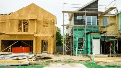
Texas Bills Aim to Tackle Housing Affordability
One proposed bill would raise the threshold for neighbor opposition to new development.

Planetizen Federal Action Tracker
A weekly monitor of how Trump’s orders and actions are impacting planners and planning in America.

San Francisco's School District Spent $105M To Build Affordable Housing for Teachers — And That's Just the Beginning
SFUSD joins a growing list of school districts using their land holdings to address housing affordability challenges faced by their own employees.

Can We Please Give Communities the Design They Deserve?
Often an afterthought, graphic design impacts everything from how we navigate a city to how we feel about it. One designer argues: the people deserve better.

The EV “Charging Divide” Plaguing Rural America
With “the deck stacked” against rural areas, will the great electric American road trip ever be a reality?

Judge Halts Brooklyn Bike Lane Removal
Lawyers must prove the city was not acting “arbitrarily, capriciously, and illegally” in ordering the hasty removal.

Engineers Gave America's Roads an Almost Failing Grade — Why Aren't We Fixing Them?
With over a trillion dollars spent on roads that are still falling apart, advocates propose a new “fix it first” framework.
Urban Design for Planners 1: Software Tools
This six-course series explores essential urban design concepts using open source software and equips planners with the tools they need to participate fully in the urban design process.
Planning for Universal Design
Learn the tools for implementing Universal Design in planning regulations.
Borough of Carlisle
Smith Gee Studio
City of Camden Redevelopment Agency
City of Astoria
Transportation Research & Education Center (TREC) at Portland State University
City of Camden Redevelopment Agency
Municipality of Princeton (NJ)