


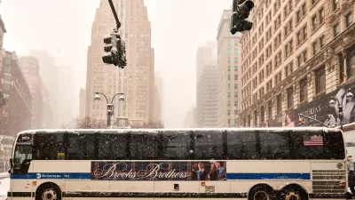
New York Mayor Michael Bloomberg has announced plans for car-free days on a nearly 7-mile section of road in Manhattan.
"The Bloomberg administration plans to bar motor vehicles from a 6.9-mile north-south route in Manhattan for six hours each on three consecutive Saturdays."
"He added: 'This has been done in Bogotá for 30 years. They love it. It's phenomenally popular and it probably will work here. If it doesn't, at least we'll have tried.'"
"The route will be closed to vehicles from 7 a.m. to 1 p.m. on Aug. 9, 16 and 23. It will go from East 72nd Street - down Park Avenue, Fourth Avenue, Lafayette Street and finally Centre Street - to City Hall."
"At most points, drivers will be barred from crossing the route. They may do so only at 24 cross streets that will be fully open, including major thoroughfares, like 42nd, 34th, 23rd, 14th and Houston Streets; East 72nd Street, at the northern terminus of the route, and Chambers Street, at the southern end."
FULL STORY: Will Car-Free ‘Summer Streets’ Work?

NYC To Experiment With Car-Free Zone
In an effort to increase livability, New York City will test a 6.9 mile car-free corridor during the month of August.
Visions of a Car-Free Manhattan
In Manhattan, the space devoted to cars and car-related infrastructure takes up an area four times larger than Central Park. What would New York City look like if it divested from cars?

How Should Lower Manhattan Handle Its Crowd Problem?
In the period since 9/11, Lower Manhattan has undergone a residential boom. With daytime professionals and tourists also in the mix, the strain is showing.

Montreal Mall to Become 6,000 Housing Units
Place Versailles will be transformed into a mixed-use complex over the next 25 years.

Planetizen Federal Action Tracker
A weekly monitor of how Trump’s orders and actions are impacting planners and planning in America.

DARTSpace Platform Streamlines Dallas TOD Application Process
The Dallas transit agency hopes a shorter permitting timeline will boost transit-oriented development around rail stations.

Study: 4% of Truckers Lack a Valid Commercial License
Over 56% of inspected trucks had other violations.

Chicago Judge Orders Thousands of Accessible Ped Signals
Only 3% of the city's crossing signals are currently accessible to blind pedestrians.

Philadelphia Swaps Car Lanes for Bikeways in Unanimous Vote
The project will transform one of the handful of streets responsible for 80% of the city’s major crashes.
Urban Design for Planners 1: Software Tools
This six-course series explores essential urban design concepts using open source software and equips planners with the tools they need to participate fully in the urban design process.
Planning for Universal Design
Learn the tools for implementing Universal Design in planning regulations.
City of Mt Shasta
City of Camden Redevelopment Agency
City of Astoria
Transportation Research & Education Center (TREC) at Portland State University
US High Speed Rail Association
City of Camden Redevelopment Agency
Municipality of Princeton (NJ)