


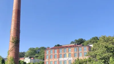
A key idea of western North Carolina's Mountain Landscapes Initiative is to create a map of land already in conservation, layered with land that should be preserved, so that developers, builders, and residents together can plan responsibly.
"In the mountains of western North Carolina, planning isn't all that popular. Three of the Tar Heel State's seven westernmost counties have no subdivision regulations, and when planning is proposed, some longtime residents deride it as 'socialism.'
But development, especially of second homes, has run strong in the region in the last several years, causing a growing number of people to argue that construction should be guided by some kind of community vision.
Thus was born the Mountain Landscapes Initiative, an attempt to get an independent-minded, largely rural region to take action before too many ridgelines are built upon and too many streams polluted."
FULL STORY: Finding the right tools for Appalachian planning

Post-Helene Reflections on Solastalgia and Community
Solastalgia is an increasingly relevant word that refers to the homesickness one feels when still at home, caused by distress due to environmental change in one’s home environment – for example, after a hurricane or wildfire.

Two Cheers For the Planners’ Pledge
A “Planners’ Pledge” created by some of the leading authorities on planning sets forth a bold urbanist agenda- even if not every idea in the pledge is equally useful in all cities.
A Better Understanding of Smart Growth Benefits
Smart Growth creates compact, multimodal communities where residents consume less land, drive less, and rely more on non-auto modes. Planners have important stories to tell about the benefits of Smart Growth.

Planetizen Federal Action Tracker
A weekly monitor of how Trump’s orders and actions are impacting planners and planning in America.

Map: Where Senate Republicans Want to Sell Your Public Lands
For public land advocates, the Senate Republicans’ proposal to sell millions of acres of public land in the West is “the biggest fight of their careers.”

Restaurant Patios Were a Pandemic Win — Why Were They so Hard to Keep?
Social distancing requirements and changes in travel patterns prompted cities to pilot new uses for street and sidewalk space. Then it got complicated.

Platform Pilsner: Vancouver Transit Agency Releases... a Beer?
TransLink will receive a portion of every sale of the four-pack.

Toronto Weighs Cheaper Transit, Parking Hikes for Major Events
Special event rates would take effect during large festivals, sports games and concerts to ‘discourage driving, manage congestion and free up space for transit.”

Berlin to Consider Car-Free Zone Larger Than Manhattan
The area bound by the 22-mile Ringbahn would still allow 12 uses of a private automobile per year per person, and several other exemptions.
Urban Design for Planners 1: Software Tools
This six-course series explores essential urban design concepts using open source software and equips planners with the tools they need to participate fully in the urban design process.
Planning for Universal Design
Learn the tools for implementing Universal Design in planning regulations.
Heyer Gruel & Associates PA
JM Goldson LLC
Custer County Colorado
City of Camden Redevelopment Agency
City of Astoria
Transportation Research & Education Center (TREC) at Portland State University
Camden Redevelopment Agency
City of Claremont
Municipality of Princeton (NJ)