A policy requiring new commercial developments to include public spaces has created more than a dozen new public places in downtown San Francisco since the 1980s. Some say more effort is needed to make these public places known by the public.


"The Intercontinental terraces show the mixed results of a decades-old city policy that requires new commercial buildings in central San Francisco to provide publicly accessible open space. More than a dozen such spaces now exist, including lush street-side plazas and rooftop aeries with spellbinding views. Yet many are hard to find unless you're in the know. Others are more Scrooge-like than welcoming."
"The effort, which began in the 1980s, has added a network of pocket-size retreats to the Financial District's towers and traffic. Now that they're in place, though, the challenge is to weave them more fully into downtown life."
"Corporate plazas have been part of the downtown landscape since 1959, when the Crown Zellerbach Building at Bush and Market streets opened with a sunken plaza that opened up views. Time magazine praised it as spectacular. Soon after, the planning code was loosened to allow developers to build larger towers if they cleared away space on the ground."
"The result was corporate plateaus that often were no more than widened sidewalks. So in 1985, officials changed such spaces from a perk to a requirement. Builders had to provide 1 square foot of public space per 50 square feet of commercial space. Additional formulas spelled out the required seating and made it obligatory to have an informational plaque at street level stating the public hours. Buildings also had to 'provide toilet spaces open to the public.'"
"As a result of the 1985 plan, 13 spaces have been created; in some cases, developers were allowed to financially contribute to renovations of other parks and plazas."
Read the full story: Little-known open spaces enhance downtown S.F.
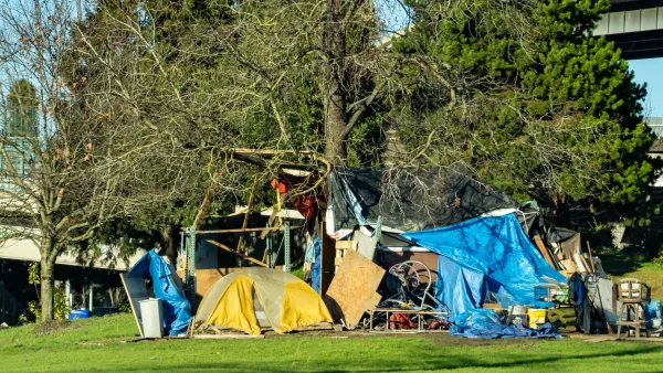
Tent Encampments: Will the Legal Restraint be Lifted?
A controversial U.S. Ninth Circuit Court of Appeals ruling in 2018 that has hindered the ability of western cities to clear tent encampments on public spaces will likely be revisited and overturned by the Supreme Court, predicts a popular CNN host.
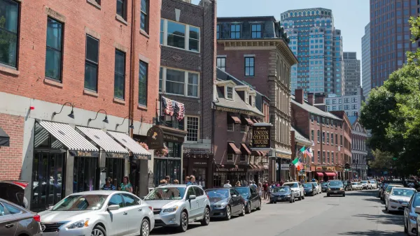
A Bold Vision for a Car-Free Boston
As other cities take daring steps to reclaim their streets, a car ban in downtown Boston doesn’t seem so implausible.
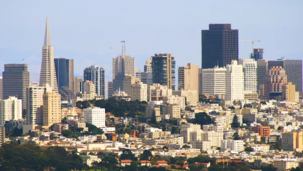
Making Public Spaces Actually Public
Developers get a lot of milage from building privately owned public spaces—but the public often doesn't. Planners in San Francisco are now requiring buildings to make hidden POPS known, so that the public can actually use them.

Planetizen Federal Action Tracker
A weekly monitor of how Trump’s orders and actions are impacting planners and planning in America.

California plans to bury El Niño’s downpour
If the state plays its cards right, it may be able to store a billion acre-feet of El Niño’s water in aquifers.

Desperate measures: Advocates weigh draining Lake Powell to fill Colorado River
Draining the reservoir could reduce evaporation losses by a couple hundred thousand acre-feet.

Voters choose public transit, approve $31 billion in funding
Approved projects include $101,000 for reduced-cost transit in a Michigan town and $14 billion for regional transit in the San Francisco Bay Area.

Study reveals best places in the U.S. for cycling, walking
New research from Streetlight Data examines bicycle and pedestrian miles per capita in the 100 largest U.S. cities by population.

Los Angeles just elected an urban planner as its mayor
Transportation analysts are optimistic that Raman will be more aggressive in addressing transit issues than Bass.

FREE Course: Walkable City 1: Why Walkability?
After describing his path towards focusing on walkability as the essence of good planning, Jeff Speck marches through his five principal reasons for making more walkable places.
Reinventing Malls: Planning Alchemy—Turning Gray Fields Into Gold
The course focuses on the opportunities and imperatives that shape reinvention of mall sites.

City of Rosemead
Rutgers University, Edward J. Bloustein School of Planning and Public Policy
One Hundred Miles
University of Michigan School for Environment and Sustainability (SEAS)
Hunter College, City University of New York (CUNY)
The Architects Foundation
City of Cambridge
Montrose County
The Pocatello Development Authority