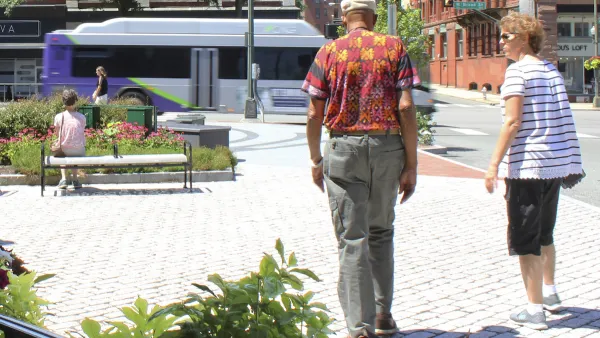
If bicyclists were allotted pathways just as pedestrians are, then biking in U.S. cities could become as viable a mode of transportation as it is in Europe.
What would cities look like without sidewalks with all traffic - walkers, cyclists, and motorists - using the same throughways for transportation? Who would ever walk? Certainly, a radical concept to imagine, but the author posits that this is what transportation planning does to bicycling by not allotting dedicated networks for cyclists. According to Durning, the vision of bike-friendliness means a "complete, continuous, interconnected network of named bicycle roads or "tracks," each marked and lit, each governed by traffic signs and signals of its own. It means a parallel network interlaced with the other urban grids: the transit grid on road or rail; the street grid for cars, trucks, and taxis; and the sidewalk grid for pedestrians. It means separation from those grids: To be useful for everyone from 8-year-olds to 80-year-olds, bikeways on large roads must be physically curbed, fenced, or graded away from both traffic and walkers."
Is this possible in the US? Durning says yes, and that it doesn't have to be accomplished solely by the creation of new bike lanes, which often times means the reduction of vehicular capacity (not a terribly popular concept in many towns), but that it can be done on residential streets by traffic calming techniques that may "make entire neighborhoods bike-friendly without adding a mile to the bikeway count."
In the article, Durning provides several links that offer examples of what communities are doing for bicycling as part of integrated transportation planning.
He also states his vision of what bike-friendly looks like "a 60-year-old and her granddaughter on two-wheelers, getting the green light at each intersection they approach, while drivers brake to stay out of their way."
Thanks to Mary Pat Lawlor
FULL STORY: What Bike-friendly Looks Like

Planetizen Federal Action Tracker
A weekly monitor of how Trump’s orders and actions are impacting planners and planning in America.

Vehicle-related Deaths Drop 29% in Richmond, VA
The seventh year of the city's Vision Zero strategy also cut the number of people killed in alcohol-related crashes by half.

As Trump Phases Out FEMA, Is It Time to Flee the Floodplains?
With less federal funding available for disaster relief efforts, the need to relocate at-risk communities is more urgent than ever.

Texas Safety Advocates Raise Alarm in Advance of Tesla Robotaxi Launch
The company plans to deploy self-driving taxis in Austin with no oversight from state or local transportation agencies.

How to Fund SF’s Muni Without Cutting Service
Three solutions for bridging the San Francisco transit agency’s budget gap without reducing service for transit-dependent riders.

Austin Tests Self-Driving Bus
Autonomous buses could improve bus yard operations for electric fleets, according to CapMetro.
Urban Design for Planners 1: Software Tools
This six-course series explores essential urban design concepts using open source software and equips planners with the tools they need to participate fully in the urban design process.
Planning for Universal Design
Learn the tools for implementing Universal Design in planning regulations.
Borough of Carlisle
Smith Gee Studio
City of Camden Redevelopment Agency
City of Astoria
Transportation Research & Education Center (TREC) at Portland State University
City of Camden Redevelopment Agency
Municipality of Princeton (NJ)


