A set of resources offers safety data and guidance for putting low-cost, quick-build interventions into action.


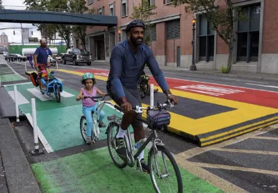
Portland, Oregon has assembled a toolkit of resources for community groups that want to make their streets safer.
According to a Strong Towns blog, the city’s Safe Streets hub offers a wealth of data such as crash statistics and maps of high-injury corridors, as well as guidance for building low-cost safety interventions. “This resource will make it easier for communities to identify dangerous areas and clearly communicate the need for change. Instead of working with fragmented or outdated information, people now have a shared regional picture of where the risks are and how severe they are.”
The Community Quick-build and Demonstration Projects guide provides step-by-step instructions for designing and implementing low-cost interventions such as temporary crosswalks, curb extensions, traffic diverters, and protected bike lanes. “Since Oregon Metro is a regional governing body, every city within its boundaries now has access to the same tools — and encouragement from the regional level to use them. That alignment can help accelerate safer, more productive street design across dozens of jurisdictions.”
FULL STORY: New Resource Helps Portland Communities Take Action on Road Safety


Minneapolis Activists Use DIY Traffic Circles to Identify, Slow ICE
Residents are using the pop-up roundabouts to slow traffic and make their presence known on Minneapolis streets.
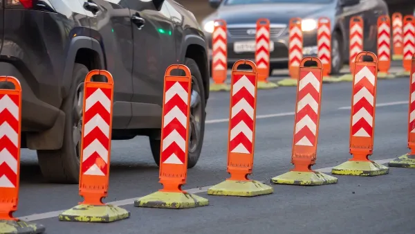
Indianapolis Encourages Tactical Urbanism With Lending Library, Grant Program
Residents can apply to receive assistance with traffic calming projects that can provide valuable data and lead to permanent changes.
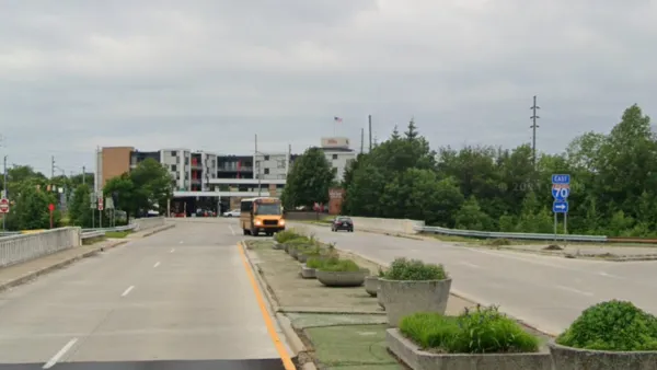
Indy Neighborhood Group Builds Temporary Multi-Use Path
Community members, aided in part by funding from the city, repurposed a vehicle lane to create a protected bike and pedestrian path for the summer season.

Planetizen Federal Action Tracker
A weekly monitor of how Trump’s orders and actions are impacting planners and planning in America.

The state-sanctioned urbicide of Austin
People don’t kill cities. Freeways do.

US to reduce Colorado River water deliveries to Mexico
A new Colorado Treaty amendment reduces Mexico’s Colorado River water allocation by 250,000 acre feet.

5 New England states march closer to 800 megawatt wind energy project
Securing federal approval for the project may be complicated under the Trump administration, which has historically been hostile towards domestic wind power.

Baltimore to break ground on $50 million Transit Priority Project
The project will bring faster bus trips, safer streets and better bike connections to Baltimore.

Airbnb launches $250 million 'last-dollar financing' housing accelerator, makes first investment in Austin
The company will put $6.4 million towards affordable housing development in Texas’ capital.

FREE Course: Walkable City 1: Why Walkability?
After describing his path towards focusing on walkability as the essence of good planning, Jeff Speck marches through his five principal reasons for making more walkable places.
Reinventing Malls: Planning Alchemy—Turning Gray Fields Into Gold
The course focuses on the opportunities and imperatives that shape reinvention of mall sites.

Eagle County Government
Harvard University Graduate School of Design
Nashville Planning Department
The Architects Foundation
University of Cincinnati Online
The Pocatello Development Authority
The Urban Renewal Agency of the City of Pocatello
Journal of the American Planning Association