


An analysis of travel times in major world cities reveals how much time drivers spend in traffic.

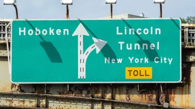
A study from TomTom ranks New York City as the worst U.S. city for traffic congestion and travel speeds, with San Francisco coming in second, reports Magdalena Del Valle in Bloomberg CityLab.
“People from the top 10 US cities with the longest travel times lost an average of 60.6 hours commuting over peak hours by car last year,” according to the study. Cities with bottlenecks like bridges or mountain roads tend to have higher congestion, according to a TomTom analyst.
Travel speeds and congestion were ranked separately. “The researchers gave cities one ranking based on travel speed and another on ‘congestion’ — a metric that discounts other factors that slow drivers down like infrastructure and speed limits.” In cities like New York, the built environment makes driving a car slower regardless of traffic. “To encourage faster alternative means of travel, New York City plans to invest the revenue from its new congestion pricing policy in infrastructure for improved public transit and biking.”
FULL STORY: New York, San Francisco Ranked Worst for US Traffic in City Centers


Research Shows More Roads = More Driving
A national study shows, once again, that increasing road supply induces additional vehicle travel, particularly over the long run.
NYC Congestion Pricing Reduced Traffic in its First Week
The program has taken tens of thousands of vehicles off the city’s roads in its first week.

From 9-to-5 to Anytime: How Telecommuting Changes the Traffic Game
Not all cities have benefited equally from congestion relief brought on by shifting commuting patterns.

Maui's Vacation Rental Debate Turns Ugly
Verbal attacks, misinformation campaigns and fistfights plague a high-stakes debate to convert thousands of vacation rentals into long-term housing.

Planetizen Federal Action Tracker
A weekly monitor of how Trump’s orders and actions are impacting planners and planning in America.

San Francisco Suspends Traffic Calming Amidst Record Deaths
Citing “a challenging fiscal landscape,” the city will cease the program on the heels of 42 traffic deaths, including 24 pedestrians.

Defunct Pittsburgh Power Plant to Become Residential Tower
A decommissioned steam heat plant will be redeveloped into almost 100 affordable housing units.

Trump Prompts Restructuring of Transportation Research Board in “Unprecedented Overreach”
The TRB has eliminated more than half of its committees including those focused on climate, equity, and cities.

Amtrak Rolls Out New Orleans to Alabama “Mardi Gras” Train
The new service will operate morning and evening departures between Mobile and New Orleans.
Urban Design for Planners 1: Software Tools
This six-course series explores essential urban design concepts using open source software and equips planners with the tools they need to participate fully in the urban design process.
Planning for Universal Design
Learn the tools for implementing Universal Design in planning regulations.
Heyer Gruel & Associates PA
JM Goldson LLC
Custer County Colorado
City of Camden Redevelopment Agency
City of Astoria
Transportation Research & Education Center (TREC) at Portland State University
Jefferson Parish Government
Camden Redevelopment Agency
City of Claremont