The city is raising shorelines and building protective gates to prevent future flooding and storm surges from impacting residents.


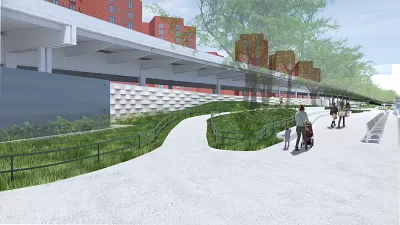
New York City celebrated the completion of the first section of a coastal flood barrier on the Lower East Side. The 2.4-mile East Side Coastal Resiliency (ESCR) project is designed to protect roughly 110,000 LES residents from a projected ‘100-year’ storm.
According to an article in CityLand, “The East Side Coastal Resiliency adds two feet of elevation should sea levels rise through raised parkland, floodwalls, berms, and 18 swinging or sliding flood gates. In February 2022, the first floodgate was installed in the northern section.”
According to Mayor Eric Adams, the project was finished “two months ahead of schedule and $10 million under budget.” Together with the Brooklyn Bridge-Montgomery Coastal Resilience, the project will protect 3.22 miles of urban shoreline from storm surges and flooding.
FULL STORY: City Celebrates Completion of First Part of East Side Coastal Resiliency Project

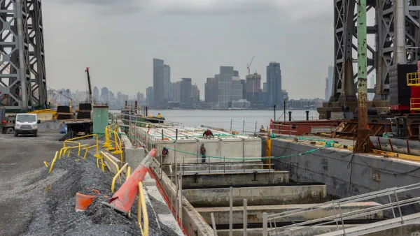
New York Flood Control Plan Takes Lessons From the Dutch
The Netherlands has a long history of flood mitigation. U.S. cities, threatened by coastal flooding and erosion, are taking note.
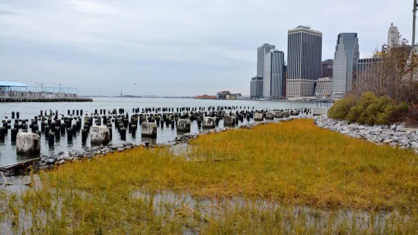
Shift in Direction of New York Resiliency Project Raises Questions
After delays and a groundbreaking that still has not happened, proposed changes to New York’s big resiliency project have not been well received.
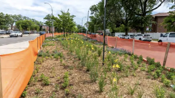
New NYC ‘sponge’ medians will absorb 5 million gallons of stormwater per year
The project will turn three medians in Queens into green infrastructure designed to absorb stormwater.

Planetizen Federal Action Tracker
A weekly monitor of how Trump’s orders and actions are impacting planners and planning in America.

The state-sanctioned urbicide of Austin
People don’t kill cities. Freeways do.

US to reduce Colorado River water deliveries to Mexico
A new Colorado Treaty amendment reduces Mexico’s Colorado River water allocation by 250,000 acre feet.

Mamdani overhauls NYC's Vision Zero plan with 100 new policy goals
The overhaul aims to reduce traffic deaths and make streets safer for pedestrians, cyclists and drivers through lower speed limits, new safety infrastructure and more.

Amtrak not solely to blame for New Jersey commuter rail's unreliability, report finds
A new study from the Garden State Initiative found that NJ Transit’s budget grew 20% across a 4 year period, but reliability declined significantly over the same period.

EPA erases limits on planet-warming pollution from power plants
Under Monday’s plan, power plants would still have some limits on how much mercury, arsenic and other contaminants they can emit.

FREE Course: Walkable City 1: Why Walkability?
After describing his path towards focusing on walkability as the essence of good planning, Jeff Speck marches through his five principal reasons for making more walkable places.
Reinventing Malls: Planning Alchemy—Turning Gray Fields Into Gold
The course focuses on the opportunities and imperatives that shape reinvention of mall sites.

Eagle County Government
Harvard University Graduate School of Design
Nashville Planning Department
The Architects Foundation
University of Cincinnati Online
The Pocatello Development Authority
The Urban Renewal Agency of the City of Pocatello
Journal of the American Planning Association