Lack of gray and green infrastructure in the city’s densest communities, particularly in historically Black Southeast D.C., has led to higher amounts of flooding in those neighborhoods.



“A new University of Maryland study suggests that Washington, D.C.'s most socioeconomically vulnerable neighborhoods are less equipped to handle runoff from heavy rainfalls made more frequent by climate change,” according to a recent article by Maggie Haslam for Phys.org.
The study found that the city’s densest communities, particularly those in historically Black Southeast D.C., have fewer sewer pipes and lack green and gray infrastructure like permeable pavement, rain gardens, trees, and green roofs to adequately control and absorb the stormwater.
The higher prevalence of impervious surfaces in these neighborhoods creates excess runoff, which then overwhelms the outdated sewer structure, resulting in more frequent and severe flooding. Researchers attribute the disinvestment and infrastructure inequity to “racist planning practices dating to the 19th century that fueled inequitable infrastructure distribution and housing conditions across D.C.”
“The study … is one of the few to look at both above- and below-ground infrastructure through a socioeconomic lens, and the first to do so for the District of Columbia, with the aim of helping city planners funnel infrastructure dollars to neighborhoods most at risk,” Haslam reports.
Read the full story: Stormwater hits D.C.'s poorest neighborhoods hardest, study finds

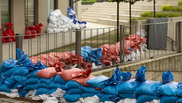
How US Communities Are Building Resilience Against Flooding
Flooding causes over $400 billion in damage in the United States every year.
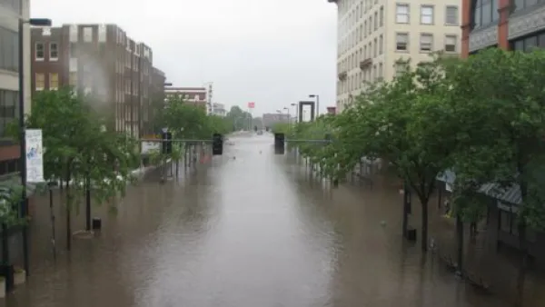
A Toolbox of Green Infrastructure Solutions to Flooding Risks
A new one-stop shop for green infrastructure solutions is available to planners and engineers challenged by flooding.

The next era of climate resilience will be measured in co-benefits
Why the strongest resilience investments solve more than one problem at once.

Planetizen Federal Action Tracker
A weekly monitor of how Trump’s orders and actions are impacting planners and planning in America.

California plans to bury El Niño’s downpour
If the state plays its cards right, it may be able to store a billion acre-feet of El Niño’s water in aquifers.

Desperate measures: Advocates weigh draining Lake Powell to fill Colorado River
Draining the reservoir could reduce evaporation losses by a couple hundred thousand acre-feet.

Metra may invest $9.1 billion in regional rail
The agency released a draft of a study examining potential ways to offer more frequent train service.

California city breaks ground on transit connector
The project includes three mobility hubs and a pedestrian bridge.

After public outcry, Massachusetts city releases housing development tracker
Cambridge’s tracker currently shows 250 housing projects in various stages of development.

FREE Course: Walkable City 1: Why Walkability?
After describing his path towards focusing on walkability as the essence of good planning, Jeff Speck marches through his five principal reasons for making more walkable places.
Reinventing Malls: Planning Alchemy—Turning Gray Fields Into Gold
The course focuses on the opportunities and imperatives that shape reinvention of mall sites.

City of Rosemead
Rutgers University, Edward J. Bloustein School of Planning and Public Policy
One Hundred Miles
Hunter College, City University of New York (CUNY)
The Architects Foundation
University of Cincinnati Online
City of Cambridge
Montrose County
The Pocatello Development Authority