Not all trails are accessible to those with limited mobility. This article highlights eight trails and nature walks in Southern California that can be enjoyed by just about anyone.



Trail can provide people of every age, ability, and socioeconomic background safe and inexpensive settings for outdoor physical activity, recreation, and transportation. Within Los Angeles County, there are over 3,300 miles of regional trails managed by numerous agencies, according to the Parks Needs Assessment Plus (PNA+) completed by the L.A. County Department of Parks and Recreation (DPR) in 2022. However, not all trails are accessible to people with limited mobility, including those who use wheelchairs or other equipment to help them get around, individuals who are older or have physical disabilities, and children who are not yet able to traverse rocky or steep inclines.
In this article, Laura Newberry highlights eight hikes and nature walks (two of which are maintained by DPR) within an hour’s drive of L.A. that can be enjoyed by just about everyone, including those at the following locations:
- Mount Wilson Observatory (Angeles National Forest)
- El Dorado Nature Center (Long Beach)
- Bolsa Chica Ecological Reserve (Huntington Beach)
- Placerita Canyon Nature Center (Santa Clarita)
- West Fork National Scenic Bikeway (Angeles National Forest)
- Kenneth Hahn State Recreation Area (Westside)
- Point Vicente Interpretive Center and Lighthouse (Rancho Palos Verdes)
- The Gabrielano Trail (Altadena)
To learn more about each of them, please read the source article.
On a related note, DPR maintains trails website and a Trails LA County mobile app. The website and mobile app promote the use of trails and inform the public of the value and importance of stewardship, conservation, and habitat restoration of open space. The website is intended to be the go-to online resource for the public to find official trail information throughout the county, while the new mobile app provides an on-the-go experience. Both the website and app offer digital tools, including information on real-time alerts, maps, weather, trail length, elevation, difficulty level, rest stops, picnic locations, and more.
Read the full story: These 8 L.A. trails are accessible to everyone, from wheelchair users to kids in strollers

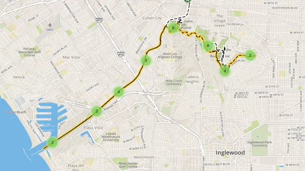
13-Mile Park to Playa Trail Seizes the Moment in South Los Angeles
A new 13-mile regional trail opens in South Los Angeles, connecting various parks to the Pacific Ocean and providing additional opportunities for residents to enjoy outdoor recreation during a pandemic.

Meet the Team Working to Create a 1,500-mile Trail Across Texas
The proposed xTx route would safely allow hikers, bikers, and equestrians to cross the entire state from the Louisiana border to El Paso.
Hikers Take Solace: The Appalachian Trail Will Survive Hurricane Helene
Despite concerns and closures in the wake of Hurricane Helene, most of the trail appears to have suffered minor damage.

Planetizen Federal Action Tracker
A weekly monitor of how Trump’s orders and actions are impacting planners and planning in America.

Amtrak, CN end decades-long dispute with eight-year agreement
The new operating agreement establishes an updated framework for the companies to work together, including processes to resolve disputes.

Northwest rail fans eager for Sept. 30 debut of Amtrak’s Airo fleet
Get ready for that new train smell and more seats. But they won’t go faster or run more frequently on the Cascades route in Washington and Oregon.

LAX SkyLink opening delayed again, contractor won’t commit to new deadline
The project was supposed to open its doors to the public in 2023.

Caltrain may slash over one-third of its stations
If Bay Area voters reject two transit tax measures, Caltrain, BART and AC Transit will see steep service cuts.

A 'dangerous' precedent: North Carolina successfully pressures communities into voting for toll roads
Two mayors resigned from the Charlotte Regional Transportation Planning Organization after it voted in favor of the toll roads.

FREE Course: Walkable City 1: Why Walkability?
After describing his path towards focusing on walkability as the essence of good planning, Jeff Speck marches through his five principal reasons for making more walkable places.
Reinventing Malls: Planning Alchemy—Turning Gray Fields Into Gold
The course focuses on the opportunities and imperatives that shape reinvention of mall sites.

City of Thousand Oaks
City of Wisconsin Rapids
Harvard University Graduate School of Design
The Architects Foundation
University of Cincinnati Online
The Pocatello Development Authority
The Urban Renewal Agency of the City of Pocatello