


Fairfax County wants to move away from a heavy reliance on level of service in favor of more pedestrian- and transit-oriented planning.
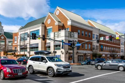
A proposal in Virginia’s Fairfax County could shift the focus of local transportation planning to pedestrian infrastructure and transit, moving away from the common level of service (LOS) model that prioritizes the fast movement of vehicular traffic. As Vernon Miles reports for FFX Now, the policy, called “Additional Measures of Effectiveness,” would require the Department of Transportation to evaluate the impact of transportation projects on pedestrian, bike, and transit infrastructure and safety.
According to Gregg Stevenson, deputy director of the Fairfax County Department of Transportation, “if the county wants to become more multimodal and make bus, bicycle, and pedestrian traffic as viable as cars, it needs to update its measures of effectiveness to match that.”
Miles notes that any new transportation analyses wouldn’t apply in the same way across the country. “The presentation noted that the county is broken up into ‘tiers’ of similar land uses, with different modes of transportation emphasized in different areas. For example, the type of bicycle and transit-focused development might be more heavily emphasized in Tysons’ urban environment, but not as much in low-density, residential neighborhoods.”
The agency plans to keep developing the policy throughout 2023.
FULL STORY: Fairfax County could put bicycles and transit on par with cars when gauging transportation needs

Opinion: Stop Paving Seattle Playgrounds for Parking Lots
Seattle schools are often forced to reduce their playground space in favor of parking and circulation for private cars, but altering the city code could change that.
Pedestrian Improvements Planned for Washington State Highway
New medians, dedicated turn lanes, and signalized crosswalks are aimed at improving pedestrian safety along the busy corridor.
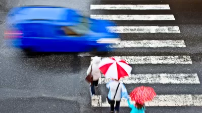
Debunking Traffic Safety Myths as Pedestrian Fatalities Increase
Angie Schmitt, former editor at Streetsblog USA, has written a new book about pedestrian fatalities, which works to dispel some of the myths about traffic safety in the United States.

Montreal Mall to Become 6,000 Housing Units
Place Versailles will be transformed into a mixed-use complex over the next 25 years.

Planetizen Federal Action Tracker
A weekly monitor of how Trump’s orders and actions are impacting planners and planning in America.

DARTSpace Platform Streamlines Dallas TOD Application Process
The Dallas transit agency hopes a shorter permitting timeline will boost transit-oriented development around rail stations.

Interactive Map Reveals America's “Shade Deserts”
Launched by UCLA and American Forests to combat heat-related deaths, the tool maps the shade infrastructure for over 360 U.S. cities.

Bicycles and Books — In Sacramento, Libraries Now Offer Both
Adult library card holders can check out e-bikes and e-trikes for up to one week.

Colorado Landfills Emit as Much Pollution as 1M Cars
Landfills are the third-largest source of methane pollution in Colorado, after agriculture and fossil fuel extraction.
Urban Design for Planners 1: Software Tools
This six-course series explores essential urban design concepts using open source software and equips planners with the tools they need to participate fully in the urban design process.
Planning for Universal Design
Learn the tools for implementing Universal Design in planning regulations.
City of Mt Shasta
City of Camden Redevelopment Agency
City of Astoria
Transportation Research & Education Center (TREC) at Portland State University
City of Camden Redevelopment Agency
Municipality of Princeton (NJ)
Regional Transportation Commission of Southern Nevada