Local residents worry that city proposals to increase density will harm neighborhood character, while the city is touting ‘smart growth’ as the goal.

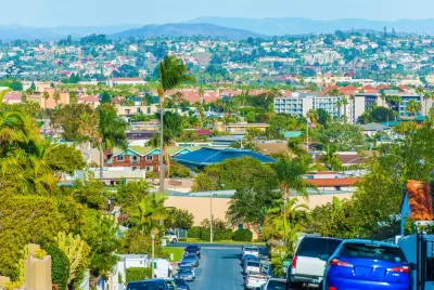
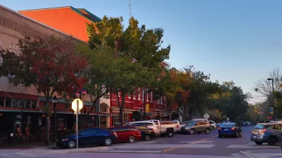
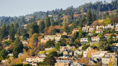
San Diego residents are raising concerns about potential zoning reforms aimed at increasing density and housing construction in the College Area neighborhood. As Omari Fleming writes, “New zoning rules could allow property owners to tear down traditional single-family neighborhood homes and put up three to five-story apartment complexes right next door.” According to the article, “Since at least 2020, members of the College Area Planning Board have been working with city planners to develop a vision for what they call "smart growth" in the area.”
Planners proposed two plans, both of which are facing opposition from local residents. “Neighbors say the Grand Boulevards plan is bad because it adds 10,000 new housing units to the area, while the 15-Minute plan is worse because it adds 20,000 and is based on outdated SANDAG growth projections.”
In a classic NIMBY argument, critics fear that rising property values will prompt local homeowners to sell to developers. “A city spokesperson told NBC 7 the two plans are part of a survey for the College Area Community Plan update to get feedback about the location and scale of new homes in the area. They said there will be more surveys and opportunities for input before public hearings begin in the spring of 2023.”
FULL STORY: Rezoning in College Area Could Clear Way for High-Density Buildings

Planetizen Federal Action Tracker
A weekly monitor of how Trump’s orders and actions are impacting planners and planning in America.

Congressman Proposes Bill to Rename DC Metro “Trump Train”
The Make Autorail Great Again Act would withhold federal funding to the system until the Washington Metropolitan Area Transit Authority (WMATA), rebrands as the Washington Metropolitan Authority for Greater Access (WMAGA).

DARTSpace Platform Streamlines Dallas TOD Application Process
The Dallas transit agency hopes a shorter permitting timeline will boost transit-oriented development around rail stations.

Maryland Plans Quick-Build Complete Streets Projects
The state will use low-cost interventions to improve road safety in five Maryland counties.

Downtown Los Angeles Gears Up for Growth
A new report highlights Downtown L.A.’s ongoing revival through major housing projects, adaptive reuse, hospitality growth, and preparations for global events in the years ahead.

Supreme Court Landlord Appeal Case Could Overturn Tenant Protections
A legal case claiming that COVID-era eviction moratoriums were unconstitutional could spell trouble for tenant protections.
Urban Design for Planners 1: Software Tools
This six-course series explores essential urban design concepts using open source software and equips planners with the tools they need to participate fully in the urban design process.
Planning for Universal Design
Learn the tools for implementing Universal Design in planning regulations.
Municipality of Princeton
Roanoke Valley-Alleghany Regional Commission
City of Mt Shasta
City of Camden Redevelopment Agency
City of Astoria
Transportation Research & Education Center (TREC) at Portland State University
US High Speed Rail Association
City of Camden Redevelopment Agency
Municipality of Princeton (NJ)


