


A partnership of researchers has created the most detailed map yet of the places where biodiversity is most at risk in the United States.
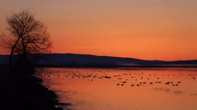
The New York Times recently shared a map touted as the most detailed documentation of biodiversity risk ever created. The map raises questions, addressed in the source article, about how to protect biodiversity on the nation's private and public lands.
The map, based on research published in the journal Ecological Applications, was created by NatureServe and a network of state partners, the geographic mapping platform Esri, and the Nature Conservancy.
Catrin Einhorn and Nadja Popovich wrote the article that accompanied the map for the New York Times. The writers dig into the findings and methodology of this ambitious research, revealing a lot of nuance about the existential risk to biodiversity in the United States because of environmental degradation and climate change and the tools the country has available to effectively protect species without risking unintended consequences.
The article also puts the details of the map in context of an evolving conversation about the role of public land in preserving biodiversity in the United States. "California is leading the way in tackling some of these challenges," write Einhorn and Popovich. "It has more land under biodiversity protection than any other of the lower 48 states, but it’s also home to high concentrations of imperiled species that live outside of those areas."
As noted in the article, president Joe Biden announced the "American the Beautiful" plan in May 2021 to protect 30 percent of the land in the country by 2030—a tripling of the amount of protected land in the country in less than a decade that follows the "30 by 30" model.
FULL STORY: This Map Shows Where Biodiversity Is Most at Risk in America

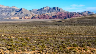
Can the U.S. Preserve 30 Percent of its Lands and Waters?
The Biden administration released its preliminary report on a plan to conserve 30 percent of the nation's lands and waters by 2030, one big, ambitious component of the administration's climate plans.
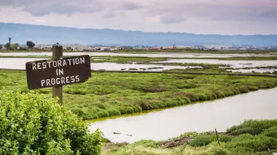
Nature-Based Solutions for Sustainable Climate Action
These solutions offer cost-effective, sustainable methods to combat climate change, but require government action to reallocate subsidies, integrate natural assets into financial systems, and develop biodiversity credit markets.

Even Small Urban Green Spaces Boost Biodiversity
A recent study from the University of Melbourne demonstrates the positive impacts small urban greening projects can have on city ecosystems.

Planetizen Federal Action Tracker
A weekly monitor of how Trump’s orders and actions are impacting planners and planning in America.

Congressman Proposes Bill to Rename DC Metro “Trump Train”
The Make Autorail Great Again Act would withhold federal funding to the system until the Washington Metropolitan Area Transit Authority (WMATA), rebrands as the Washington Metropolitan Authority for Greater Access (WMAGA).

The Simple Legislative Tool Transforming Vacant Downtowns
In California, Michigan and Georgia, an easy win is bringing dollars — and delight — back to city centers.

The States Losing Rural Delivery Rooms at an Alarming Pace
In some states, as few as 9% of rural hospitals still deliver babies. As a result, rising pre-term births, no adequate pre-term care and harrowing close calls are a growing reality.

The Small South Asian Republic Going all in on EVs
Thanks to one simple policy change less than five years ago, 65% of new cars in this Himalayan country are now electric.

DC Backpedals on Bike Lane Protection, Swaps Barriers for Paint
Citing aesthetic concerns, the city is removing the concrete barriers and flexposts that once separated Arizona Avenue cyclists from motor vehicles.
Urban Design for Planners 1: Software Tools
This six-course series explores essential urban design concepts using open source software and equips planners with the tools they need to participate fully in the urban design process.
Planning for Universal Design
Learn the tools for implementing Universal Design in planning regulations.
Smith Gee Studio
City of Charlotte
City of Camden Redevelopment Agency
City of Astoria
Transportation Research & Education Center (TREC) at Portland State University
US High Speed Rail Association
City of Camden Redevelopment Agency
Municipality of Princeton (NJ)