The Mineta Transportation Institute's new interactive website produces heatmaps that illustrate commute duration—the number of minutes that workers spend traveling to their jobs—plus related information, for most U.S. communities.


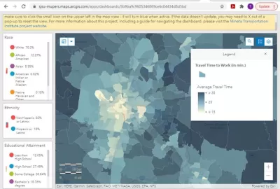
The Mineta Transportation Institute’s new interactive Commute Duration Dashboard, illustrates commute duration (average minutes per commute), plus key demographic information including income, gender and race, for most U.S. communities. From the dashboard's abstract:
Transportation planning is shifting from mobility-based to accessibility-based analysis. Mobility-based planning evaluates transportation system performance based primarily on travel speed. Accessibility-based planning evaluates system performance based on time, the amount of time required to access desired services and activities such as work, school and shops. This new paradigm recognizes that many factors can affect accessibility, including mobility (travel speed), proximity (the distances between destinations, and therefore development density and mix), transport system diversity (the variety of travel modes available at a time and place), transport network connectivity (the quality of connections between modes), and affordability.
For various levels of analysis, the dashboard presents both Census tract data and county-level data. These maps show that in must urban regions, workers in central neighborhoods spend significantly less time commuting than in sprawled, automobile-dependent areas, despite slower average traffic speeds and lower automobile mode shares—indicating once again that accessibility depends more on proximity than traffic speed.
Read the full story: Commute Duration Dashboard: Mapping Commute Travel Times to Evaluate Accessibility
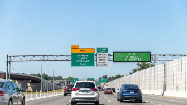
Congestion Costing Reality Check, Part 2: A congestion costing critique
There are good reasons to be skeptical of highway industry claims that traffic congestion is a growing problem. Their analysis is often incomplete and biased. Let’s pull back the curtain on some major congestion cost studies.
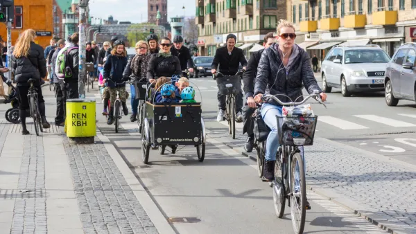
The Inflation Reduction Act's 'Inadequate' Reliance on Electric Vehicles
Electric vehicles can help reduce greenhouse gas emissions, but not enough to prevent the worst of climate change and not as much as walkable cities with far fewer cars on the road.

Planning for Congestion Relief
The third and final installment of Planetizen's examination of the role of the planning profession in both perpetuating and solving traffic congestion.

Desperate measures: Advocates weigh draining Lake Powell to fill Colorado River
Draining the reservoir could reduce evaporation losses by a couple hundred thousand acre-feet.

Eastern Nebraska is running out of electricity
Data centers and electrification are straining eastern Nebraska’s grid, throttling economic development.

Move over, LA: St. Louis gears up for Olympics, invests millions in downtown redevelopment
The Missouri city will host the 2028 Olympic soccer group stage and knockout matches.

Mass. votes against statewide minimum lot size for single-family homes
Over 2 million residents voted on Question 7; it was decided by just over 30,000 votes.

Maryland’s $15 billion bridge project gains key approval
The Maryland Transit Authority said the project will create over 60,000 jobs and add $23 billion to the local economy.

‘No clear next steps’ for Chicago's permanent festival grounds
Eleventh Ward Ald. Nicole Lee has suggested Soldier Field as a possible location for the permanent event space.

FREE Course: Walkable City 1: Why Walkability?
After describing his path towards focusing on walkability as the essence of good planning, Jeff Speck marches through his five principal reasons for making more walkable places.
Reinventing Malls: Planning Alchemy—Turning Gray Fields Into Gold
The course focuses on the opportunities and imperatives that shape reinvention of mall sites.

City of Rosemead
Rutgers University, Edward J. Bloustein School of Planning and Public Policy
One Hundred Miles
University of Michigan School for Environment and Sustainability (SEAS)
Hunter College, City University of New York (CUNY)
The Architects Foundation
City of Cambridge
Montrose County
The Pocatello Development Authority