


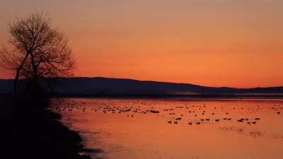
The Biden administration released its preliminary report on a plan to conserve 30 percent of the nation's lands and waters by 2030, one big, ambitious component of the administration's climate plans.

The goal, included in a January 27, 2021 executive order laying out the administration's agenda on climate change, was further explained this week with the release of the 22-page "America the Beautiful" report prepared by the departments of Commerce, Interior, and Agriculture. The document "laid out broad principles — but few details — for achieving that vision," according to the article.
Kaplan and Eilperin report the details offered in a press call with White House National Climate Adviser Gina McCarthy, who describes the effort as the first national conservation goal set by the United States.
However, most of the article focuses on the report's lack of specific plans. According to the article, "the new report doesn’t identify specific places for enhanced protection, define what level of conservation would be required for an area to count toward the administration’s 30 percent goal or indicate how much federal funding would be needed to make Biden’s vision a reality."
As noted in the article, some of that ambiguity is by design. "Some environmentalists said that it would be impractical to make that assessment at this point, and that it will take time to muster the kind of grass-roots support needed to achieve such a sweeping conservation goal," write Kaplan and Eilperin.
FULL STORY: A narrow path for Biden’s ambitious land conservation plan

Mapping Biodiversity Risk
A partnership of researchers has created the most detailed map yet of the places where biodiversity is most at risk in the United States.
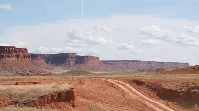
Assessing Biden's '30 by 30' Conservation Plan
The president's ambitious commitment to protect 30% of U.S. land and water by 2030 might be too broad in attempting to satisfy all land users.
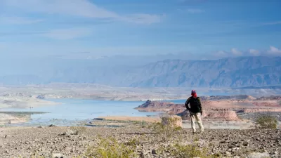
More Need Than Ever for Drought Resilience on the Colorado River
The effects of climate change are already cutting deeply into the lifeblood of the U.S. West—the Colorado River.

Planetizen Federal Action Tracker
A weekly monitor of how Trump’s orders and actions are impacting planners and planning in America.

Restaurant Patios Were a Pandemic Win — Why Were They so Hard to Keep?
Social distancing requirements and changes in travel patterns prompted cities to pilot new uses for street and sidewalk space. Then it got complicated.

Map: Where Senate Republicans Want to Sell Your Public Lands
For public land advocates, the Senate Republicans’ proposal to sell millions of acres of public land in the West is “the biggest fight of their careers.”

Maui's Vacation Rental Debate Turns Ugly
Verbal attacks, misinformation campaigns and fistfights plague a high-stakes debate to convert thousands of vacation rentals into long-term housing.

San Francisco Suspends Traffic Calming Amidst Record Deaths
Citing “a challenging fiscal landscape,” the city will cease the program on the heels of 42 traffic deaths, including 24 pedestrians.

California Homeless Arrests, Citations Spike After Ruling
An investigation reveals that anti-homeless actions increased up to 500% after Grants Pass v. Johnson — even in cities claiming no policy change.
Urban Design for Planners 1: Software Tools
This six-course series explores essential urban design concepts using open source software and equips planners with the tools they need to participate fully in the urban design process.
Planning for Universal Design
Learn the tools for implementing Universal Design in planning regulations.
Heyer Gruel & Associates PA
JM Goldson LLC
Custer County Colorado
City of Camden Redevelopment Agency
City of Astoria
Transportation Research & Education Center (TREC) at Portland State University
Camden Redevelopment Agency
City of Claremont
Municipality of Princeton (NJ)