Vancouver is scheduled to begin construction on a new subway in 2020, and planners are laying out a vision for the neighborhoods surrounding the new line, including turning Broadway into a "Great Street."


Carlito Pablo reports on a plan in Vancouver to remake Broadway into a "Great Street."
A report to council written by city planner Kevin McNaney lays out the Great Streets vision, "as one of the guiding principles that will steer the preparation of a plan integrating city objectives with the arrival of the Broadway subway."
"Street design, new development, public spaces, and businesses should contribute to a delightful experience for everyone and lively gathering places, and help create distinct character areas along Broadway that also serve the local neighbourhoods," writes McNaney in the report, as quoted in the article.
"The future Broadway Plan covers the area between Clark Drive to the east, Vine Street to the west, 1st Avenue to the north, and 16th Avenue to the south," according to Pablo.
Broadway Subway project map. (Source: City of Vancouver via Google Maps)
As reported by Pablo, the Broadway Plan also leverages the coming subway project (scheduled to start construction in 2020) for other opportunities, like public spaces and transit-oriented residential development.
FULL STORY: City of Vancouver's grand vision reimagines Broadway as a 'Great Street'

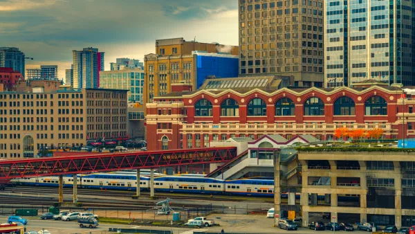
New Long-Term Plan for Vancouver Regional Transit Approved
A new 30-year transportation plan, focusing heavily on transit projects and active transportation linkages, was approved recently for the Vancouver, British Columbia region.
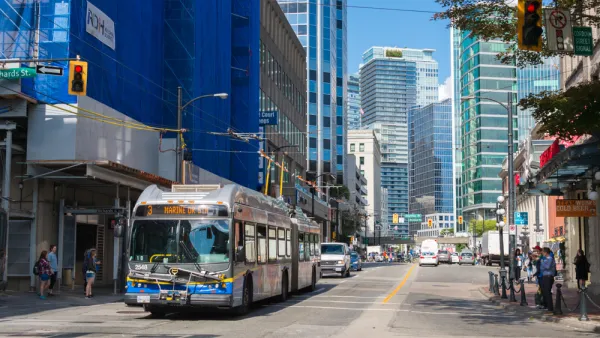
That's How You Promote Better Bus Service
Along with new, improved bus service, Vancouver's TransLink launched some snazzy promotional materials.
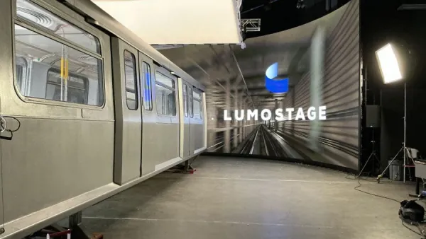
Retired Vancouver SkyTrain Car Hits Hollywood
As SkyTrain retires its first fleet of cars, the agency is seeking innovative ways to repurpose the roughly 130 first-generation cars.

Planetizen Federal Action Tracker
A weekly monitor of how Trump’s orders and actions are impacting planners and planning in America.

The state-sanctioned urbicide of Austin
People don’t kill cities. Freeways do.

US to reduce Colorado River water deliveries to Mexico
A new Colorado Treaty amendment reduces Mexico’s Colorado River water allocation by 250,000 acre feet.

5 New England states march closer to 800 megawatt wind energy project
Securing federal approval for the project may be complicated under the Trump administration, which has historically been hostile towards domestic wind power.

Baltimore to break ground on $50 million Transit Priority Project
The project will bring faster bus trips, safer streets and better bike connections to Baltimore.

Airbnb launches $250 million 'last-dollar financing' housing accelerator, makes first investment in Austin
The company will put $6.4 million towards affordable housing development in Texas’ capital.

FREE Course: Walkable City 1: Why Walkability?
After describing his path towards focusing on walkability as the essence of good planning, Jeff Speck marches through his five principal reasons for making more walkable places.
Reinventing Malls: Planning Alchemy—Turning Gray Fields Into Gold
The course focuses on the opportunities and imperatives that shape reinvention of mall sites.

Eagle County Government
Harvard University Graduate School of Design
Nashville Planning Department
The Architects Foundation
University of Cincinnati Online
The Pocatello Development Authority
The Urban Renewal Agency of the City of Pocatello
Journal of the American Planning Association