In cities like Boston, the government’s right to take private property displaced residents and destroyed vulnerable neighborhoods and communities.


In a segment for the urban planning YouTube channel City Beautiful, Dave Amos looks at the history of eminent domain and how it has decimated neighborhoods in cities across the United States.
Government acquisition of private property for public use is not always a clear-cut process, and the idea of public use should really be understood as the public benefits such actions provide, says Amos. And the justifications for use of eminent domain are sometimes questionable, he argues.
"City leaders would often claim an area was blighted and use it as a rationale for abusing eminent domain and transferring properties from poor property owners to developers. And they would often build projects for the wealthy—things like condos, performing arts centers, and shopping centers," notes Amos.
He also takes issue with the very idea of blight and planners’ assertion that these areas needed to be destroyed and replaced with something better. One example of the urban renewal wave sweeping across the nation was what happened in Boston’s West End neighborhood. It was demolished in the 1950s, displacing over 10,000 residents, many of whom ended up in substandard housing.
The motivation for razing the West End was not improving neighborhoods, says Amos. Instead, developers saw the area as ideal for redevelopment of central Boston. "Poor and minority neighborhoods were seen as a disease that needed to be exterminated so that wealthy residents, shoppers, and businesspeople could return to the central city," adds Amos.
Read the full story: Midweek Video: How Eminent Domain Destroys Neighborhoods


Boston's New Mayor Wants to End Old Urban Renewal Districts
Michelle Wu, Boston's new mayor, is ready to finally end the government powers that displaced communities in the mid-20th century.
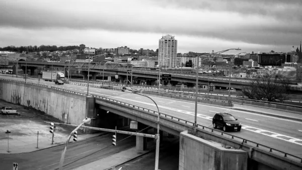
Can Reparations Right the Wrongs Caused by a Highway?
An elevated highway destroyed an African American community in Syracuse, New York. Is just removing it enough?
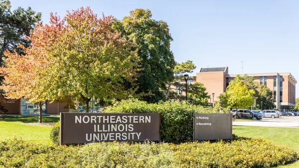
This university-owned city block in Chicago has languished for over a decade. Neighbors say it's time to let go
The university never built its planned student housing, letting a row of storefronts sit vacant for years.

Planetizen Federal Action Tracker
A weekly monitor of how Trump’s orders and actions are impacting planners and planning in America.

California plans to bury El Niño’s downpour
If the state plays its cards right, it may be able to store a billion acre-feet of El Niño’s water in aquifers.

Chicago breaks ground on $3 billion megadevelopment
The new neighborhood, titled Foundry Park, will one day host 3,700 residences.

Satanic place names
From streams and lakes to valleys and canyons, I mapped more than 1,000 places named after the Devil.

California High-Speed Rail Authority CEO resigns after $600,000 scandal
Under Ian Choudri, the authority used taxpayer dollars to fund first class flights and trips to nightclubs.

Want to study the Missouri River? Soon, you may need unanimous approval from 10 states
Legislation would require 10 governors’ permission to study or build projects moving water outside the basin.

FREE Course: Walkable City 1: Why Walkability?
After describing his path towards focusing on walkability as the essence of good planning, Jeff Speck marches through his five principal reasons for making more walkable places.
Reinventing Malls: Planning Alchemy—Turning Gray Fields Into Gold
The course focuses on the opportunities and imperatives that shape reinvention of mall sites.

City of Rosemead
Rutgers University, Edward J. Bloustein School of Planning and Public Policy
One Hundred Miles
Hunter College, City University of New York (CUNY)
The Architects Foundation
University of Cincinnati Online
City of Cambridge
Montrose County
The Pocatello Development Authority