The Mission Rock project eliminates street parking, replacing it with public seating and landscaping.


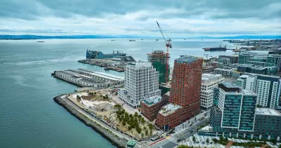
A new waterfront development in San Francisco could offer a more pedestrian-oriented model for U.S. neighborhoods, writes Nate Berg in Fast Company. “Uniquely, the neighborhood has been designed with pedestrian-first streets that do not allow on-street parking. The new street rooms are designed to give pedestrians more spaces to use along its two main corridors.”
Even in walkable San Francisco, car-free streets are rare. The 28-acre development, called Mission Rock, still offers some car access, but “The street itself at Mission Rock is revolutionary in its own regard. It was designed to be curbless, creating a completely flat 60-foot canyon between the building frontages on either side. Subtle steel grates provide drainage and a marker between the narrow car-accessible space and the rest of the public realm, and a small trapezoidal grade elevation makes a perceptible barrier for the visually impaired.”
The project includes three “street rooms” that center on public art that is designed to be sat on, climbed, or rested under. According to CMG Landscape Architecture cofounder Willett Moss, “The street rooms were developed to be places that people can hang out. They are, in this case, places where things are whimsical, and different identities and qualities and experiences can be expressed.”
Read the full story: San Francisco’s newest neighborhood offers a glimpse of life without cars


San Francisco to Dismantle its Polarizing Brutalist Fountain
The Vaillancourt Fountain stands as a symbol of the tension between the city’s past and future.
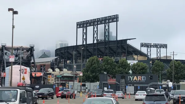
Sports-Related Development Transforming San Francisco's Waterfront South of Downtown
The Giants announced two massive development proposals in recent weeks, and the Warriors are opening a new arena to regular season games later this week.
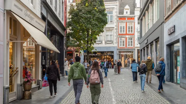
Planning for Love, Part 3: Enhancing human connection through walkability
In the third and final installment of this series, author Hannah Kosoff examines what her research findings say about modern dating and urban form.

Planetizen Federal Action Tracker
A weekly monitor of how Trump’s orders and actions are impacting planners and planning in America.

California plans to bury El Niño’s downpour
If the state plays its cards right, it may be able to store a billion acre-feet of El Niño’s water in aquifers.

Chicago breaks ground on $3 billion megadevelopment
The new neighborhood, titled Foundry Park, will one day host 3,700 residences.

Satanic Place Names
From streams and lakes to valleys and canyons, I mapped more than 1,000 places named after the Devil.

California High-Speed Rail Authority CEO resigns after $600,000 scandal
Under Ian Choudri, the authority used taxpayer dollars to fund first class flights and trips to nightclubs.

Want to study the Missouri River? Soon, you may need unanimous approval from 10 states
Legislation would require 10 governors’ permission to study or build projects moving water outside the basin.

FREE Course: Walkable City 1: Why Walkability?
After describing his path towards focusing on walkability as the essence of good planning, Jeff Speck marches through his five principal reasons for making more walkable places.
Reinventing Malls: Planning Alchemy—Turning Gray Fields Into Gold
The course focuses on the opportunities and imperatives that shape reinvention of mall sites.

City of Rosemead
Rutgers University, Edward J. Bloustein School of Planning and Public Policy
One Hundred Miles
Hunter College, City University of New York (CUNY)
The Architects Foundation
University of Cincinnati Online
City of Cambridge
Montrose County
The Pocatello Development Authority