Community science platforms like eBird and iNaturalist enhance early detection of invasive species, complementing professional surveillance and highlighting the need for stronger collaboration between the public and official authorities.


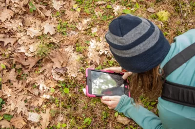
Early detection is crucial for managing invasive alien species (IAS), which pose significant threats to ecosystems, economies, and public health. While official surveillance is vital, a new study highlights the critical role of community science platforms, such as eBird and iNaturalist, in identifying these species. Analyzing 600 official first records of IAS from 30 countries, researchers compared professional databases with 220 million records from public platforms, finding that community contributions were earlier than official reports in 20 percent of cases and equally timed in 30 percent, showcasing the platforms' effectiveness in complementing formal surveillance.
The research revealed variations in early detection by species type and geography. Species regulated at the European level or observed in neighboring countries were reported more quickly on public platforms, likely due to heightened awareness. However, some obscure species requiring specialized identification techniques were detected faster by professional scientists. Countries like Sweden and the Netherlands stood out for their high rates of public-first detections, demonstrating the potential of integrating citizen data with professional monitoring systems to enhance IAS management.
To unlock the full potential of public participation in IAS detection, researchers recommend improved collaboration between authorities and community science platforms. Governments should ensure data from public contributions flow seamlessly into open databases and invest in technologies that support citizen reporting in under-surveyed areas. Strengthening these partnerships can enhance global IAS management and foster a more inclusive approach to biodiversity conservation.
Read the full story: Unlocking the full potential of community-led surveillance of invasive species


Study: How Urban Parks Can Support Biodiversity
Conservation and recreation can go hand in hand in urban green spaces designed to serve both humans and local wildlife.
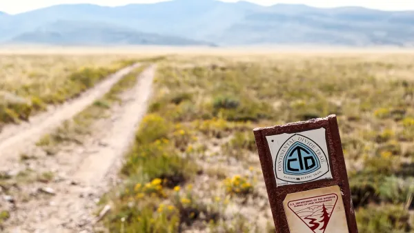
BLM To Rescind Public Lands Rule
The change will downgrade conservation, once again putting federal land at risk for mining and other extractive uses.

Explore Urban Biodiversity: Join the 2025 City Nature Challenge
The City Nature Challenge invites people worldwide to document urban biodiversity by photographing and sharing wild plants and animals through the iNaturalist app, helping scientists track and understand real-time changes in ecosystems.

Planetizen Federal Action Tracker
A weekly monitor of how Trump’s orders and actions are impacting planners and planning in America.

California plans to bury El Niño’s downpour
If the state plays its cards right, it may be able to store a billion acre-feet of El Niño’s water in aquifers.

Desperate measures: Advocates weigh draining Lake Powell to fill Colorado River
Draining the reservoir could reduce evaporation losses by a couple hundred thousand acre-feet.

California city breaks ground on transit connector
The project includes three mobility hubs and a pedestrian bridge.

After public outcry, Massachusetts city releases housing development tracker
Cambridge’s tracker currently shows 250 housing projects in various stages of development.

40 years after approval, Chicago breaks ground on new park
The park honors Jean Baptiste Point du Sable, the city’s first permanent non-native settler.

FREE Course: Walkable City 1: Why Walkability?
After describing his path towards focusing on walkability as the essence of good planning, Jeff Speck marches through his five principal reasons for making more walkable places.
Reinventing Malls: Planning Alchemy—Turning Gray Fields Into Gold
The course focuses on the opportunities and imperatives that shape reinvention of mall sites.

City of Rosemead
Rutgers University, Edward J. Bloustein School of Planning and Public Policy
One Hundred Miles
Hunter College, City University of New York (CUNY)
The Architects Foundation
University of Cincinnati Online
City of Cambridge
Montrose County
The Pocatello Development Authority