


New York’s Department of Transportation plans to double the width of a Staten Island street to accommodate more vehicular traffic.

New York City officials plan to double the width of a street in Staten Island in a bid to reduce congestion, but mobility advocates say the plan will take away pedestrian space, make the street more dangerous for people with disabilities, and induce more traffic.
As Kevin Duggan explains in Streetsblog NYC, “The $24-million reconstruction of Amboy Road, covering less than a half-mile between Richmond and Armstrong avenues in Eltingville, will double the street's width from 40 feet to 80 feet to expand it from one lane each way to two, according to Department of Transportation plans dating back a decade.”
According to NYCDOT, “The plans would not only widen Amboy Road, but also also install a raised median and enhanced pedestrian crossings at intersections, which officials say would create a ‘Town Center’ environment.”
The project plan does not specify any improvements to transit along the corridor. “The project is being undertaken by DOT and the Department of Design and Construction, and it is set to start construction next spring. The DOT declined to respond to repeated questions about this project, but DDC spokesperson Ian Michaels said the project is still undergoing a final design.”
FULL STORY: Vision? Zero! City Will Widen Staten Island Roadway to Appease Drivers

Planning for Congestion Relief
The third and final installment of Planetizen's examination of the role of the planning profession in both perpetuating and solving traffic congestion.

How Planning Fails to Solve Congestion
Solutions for congestion are never as simple and easy as armchair planners and engineers would like you to believe—especially those who suggest that congestion can be solved by forever building more roadway capacity.

Planning and the Complicated Causes and Effects of Congestion
What do planners know about congestion, and what can they do about it? Explanations and solutions are less obvious than they seem (part one of a three-part series).

Planetizen Federal Action Tracker
A weekly monitor of how Trump’s orders and actions are impacting planners and planning in America.

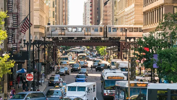
Chicago’s Ghost Rails
Just beneath the surface of the modern city lie the remnants of its expansive early 20th-century streetcar system.

Amtrak Cutting Jobs, Funding to High-Speed Rail
The agency plans to cut 10 percent of its workforce and has confirmed it will not fund new high-speed rail projects.

Ohio Forces Data Centers to Prepay for Power
Utilities are calling on states to hold data center operators responsible for new energy demands to prevent leaving consumers on the hook for their bills.

MARTA CEO Steps Down Amid Citizenship Concerns
MARTA’s board announced Thursday that its chief, who is from Canada, is resigning due to questions about his immigration status.

Silicon Valley ‘Bike Superhighway’ Awarded $14M State Grant
A Caltrans grant brings the 10-mile Central Bikeway project connecting Santa Clara and East San Jose closer to fruition.
Urban Design for Planners 1: Software Tools
This six-course series explores essential urban design concepts using open source software and equips planners with the tools they need to participate fully in the urban design process.
Planning for Universal Design
Learn the tools for implementing Universal Design in planning regulations.
Caltrans
City of Fort Worth
Mpact (founded as Rail~Volution)
City of Camden Redevelopment Agency
City of Astoria
City of Portland
City of Laramie